Channel & Berth Profile
Pilotage, Tugs & Services
Pilotage compulsoryNO
Potable waterYES
Diesel bunkersYES
Facilities & Capabilities
Container—
Ro-Ro—
Liquid bulk—
Dry bulk—
Oil terminal—
Break bulk—
Dry dock—
Repairs—
BunkeringYES
Rail linkYES
Dangerous cargo—
ISPS security—
Harbour Specifications
Harbour size
Very Small
Harbour type
River (Natural)
Shelter
Excellent
Water body
North Atlantic Ocean
Overhead limit
Yes
Pilotage
No
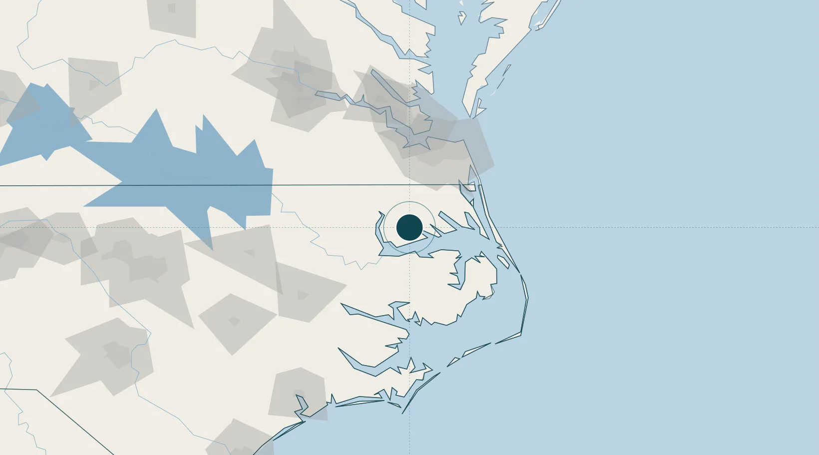
Location
Nearby Logistics Neighbours
Ports
- 1Edenton20 km
- 2Elizabeth City26 km
- 3Columbia36 km
- 4Plymouth44 km
- 5Belhaven64 km
Cities
- 1Tyner16 km
- 2South Mills31 km
- 3Merry Hill33 km
- 4Roper37 km
- 5Winton53 km
Airports
Trade Zones
- 1FTZ No. 020 Suffolk82 km
- 2FTZ No. 214 Lenoir County168 km
- 3FTZ No. 207 Richmond178 km
- 4FTZ No. 093 Raleigh Durham221 km
- 5FTZ No. 185 Culpeper County294 km
DatabookThe Record of Consolidated Knowledge
United States beyond logistics?