Transport Functions
Road
Multimodal
Hub Profile
Place type
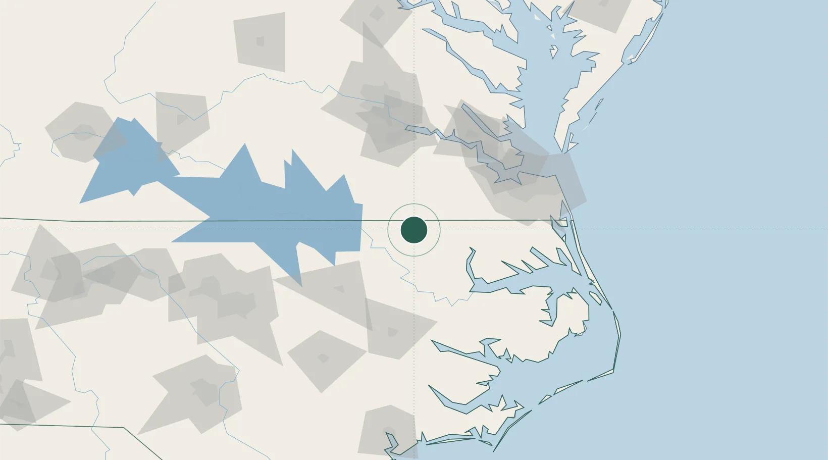
Populated place
Region
North Carolina
Time zone
America/New_York
Elevation
24 m
Location
Nearby Logistics Neighbours
Cities
- 1Boykins13 km
- 2Statesville14 km
- 3Rich Square24 km
- 4Courtland29 km
- 5Garysburg31 km
Ports
- 1Edenton70 km
- 2Hertford73 km
- 3Plymouth78 km
- 4Newport News88 km
- 5Portsmouth89 km
Airports
Trade Zones
- 1FTZ No. 020 Suffolk75 km
- 2FTZ No. 207 Richmond122 km
- 3FTZ No. 214 Lenoir County152 km
- 4FTZ No. 093 Raleigh Durham165 km
- 5FTZ No. 185 Culpeper County239 km
DatabookThe Record of Consolidated Knowledge
United States beyond logistics?