UN/LOCODE hub · United States
USVVZ
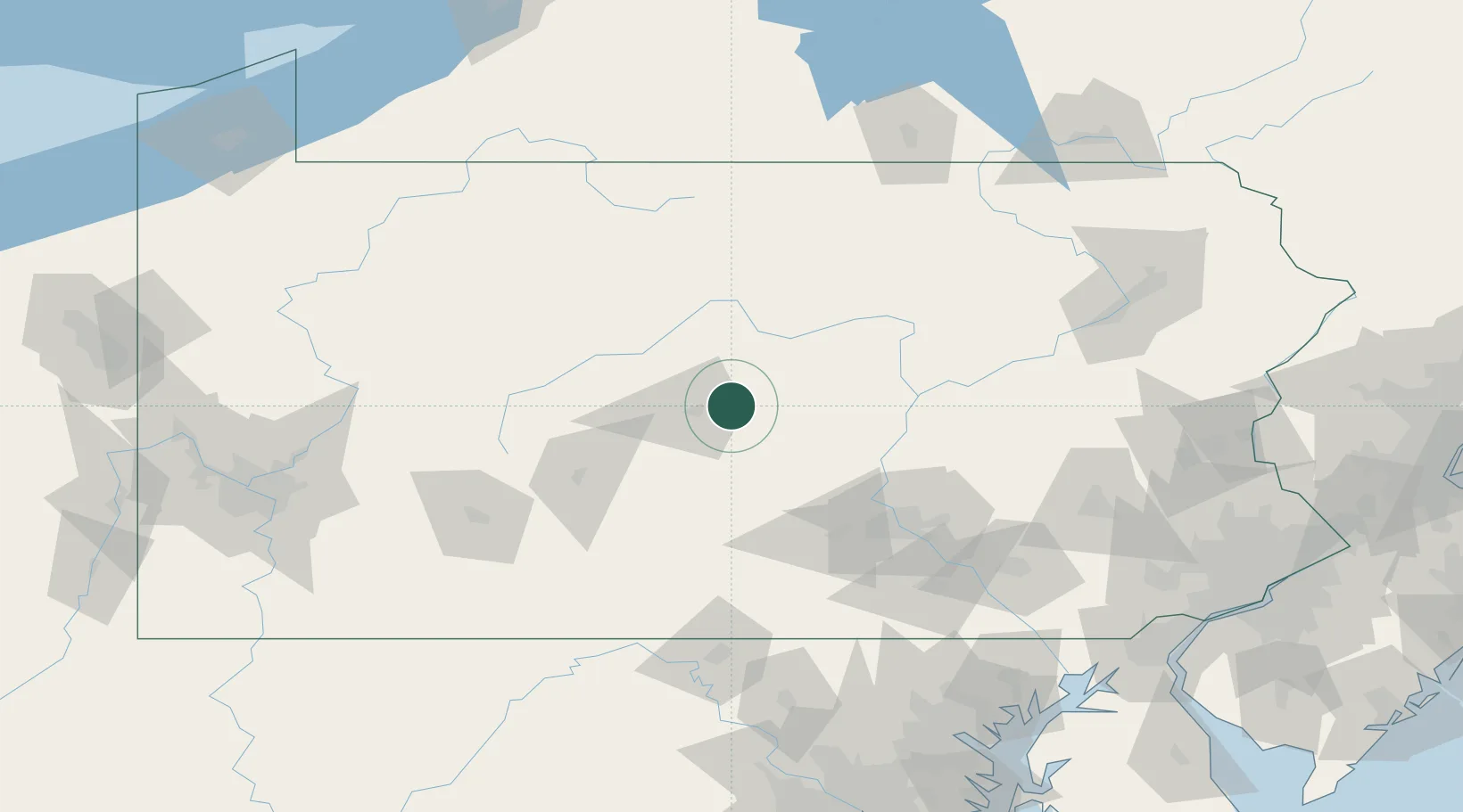
Centre Hall
40.8333°, -77.6833°
1,243
Population
2
Transport functions
Transport Functions
Port
Road
Hub Profile
Place type
Populated place
Region
Pennsylvania
Population
1,243
Time zone
America/New_York
Elevation
404 m
Location
Nearby Logistics Neighbours
Cities
- 1Pleasant Gap7 km
- 2Beech Creek28 km
- 3Lewistown, Mifflin30 km
- 4Clarence31 km
- 5Mifflintown39 km
Ports
- 1Baltimore198 km
- 2Havre De Grace198 km
- 3Wilmington218 km
- 4New Castle223 km
- 5Deepwater Point223 km
Airports
Trade Zones
DatabookThe Record of Consolidated Knowledge
United States beyond logistics?