UN/LOCODE hub · United States
USLWW

Lewistown, Mifflin

40.5833°, -77.5667°
2
Transport functions

Transport Functions

Rail
Road
UN/LOCODE

Hub Profile

Region
PA
GeoNames

Location

Location of USLWW
Natural Earth 10m (public domain) · PA · USLWW · 40.58, -77.57GoogleOSMYandex

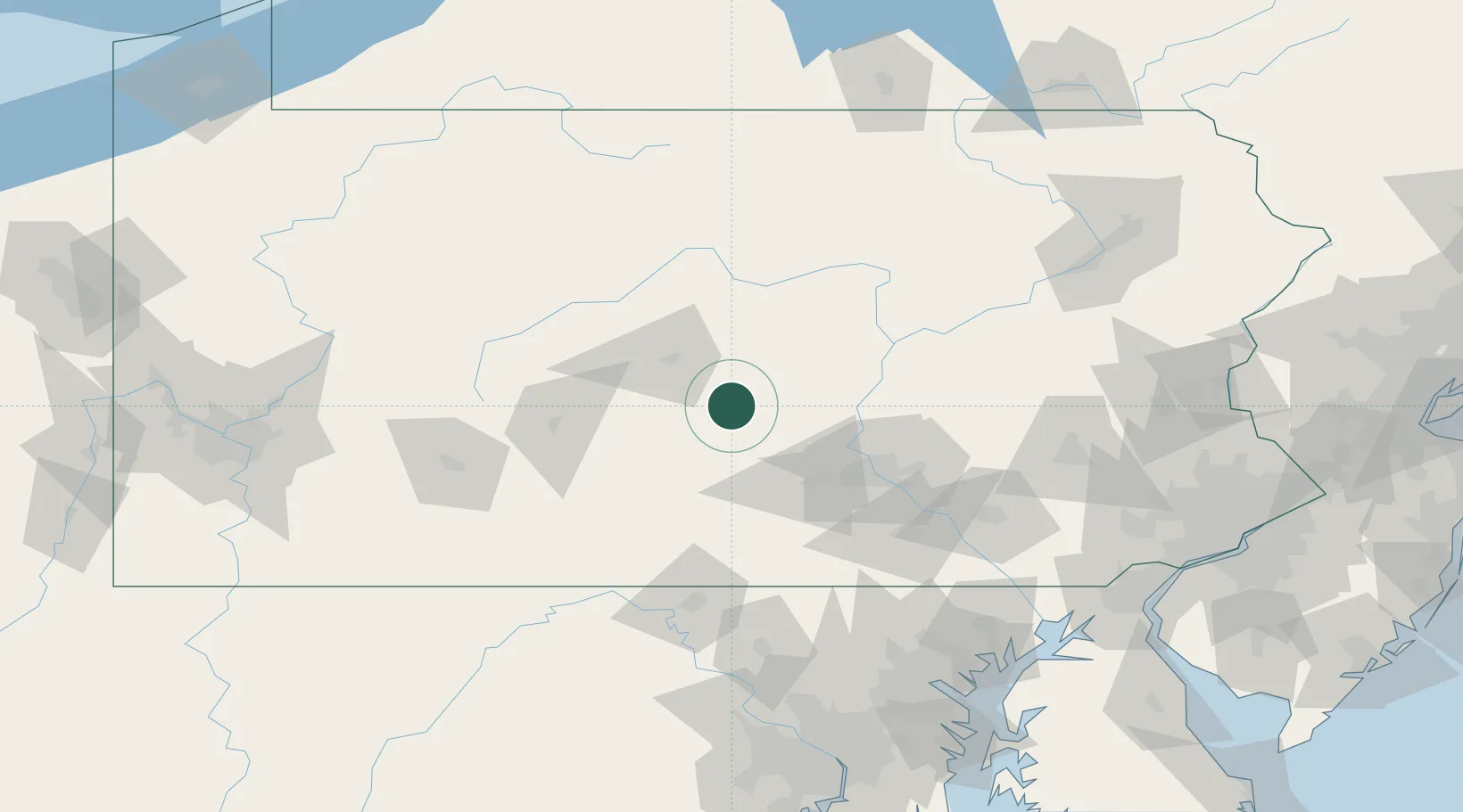
Nearby Logistics Neighbours

Cities
  1. 1Mifflintown16 km
  2. 2Centre Hall30 km
  3. 3Mount Union, Huntingdon35 km
  4. 4Pleasant Gap35 km
  5. 5Newport, Perry40 km
Nearest neighbours — logibook spatial index (haversine) over the source coordinates
Ports
  1. 1Baltimore169 km
  2. 2Havre De Grace172 km
  3. 3Wilmington196 km
  4. 4Washington D.C.196 km
  5. 5New Castle199 km
Nearest neighbours — logibook spatial index (haversine) over the source coordinates
Airports
  1. 1State College Regional Airport38 km
  2. 2Altoona Blair County Airport71 km
  3. 3Harrisburg International Airport81 km
  4. 4Muir Army Air Field (Fort Indiantown Gap) Airport86 km
  5. 5Williamsport Regional Airport91 km
Nearest neighbours — logibook spatial index (haversine) over the source coordinates
Trade Zones
  1. 1FTZ No. 147 Berks County112 km
  2. 2FTZ No. 295 Central Pennsylvania114 km
  3. 3FTZ No. 240 Martinsburg130 km
  4. 4FTZ No. 254 Jefferson County137 km
  5. 5FTZ No. 272 Counties of Lehigh and Northampton154 km
Nearest neighbours — logibook spatial index (haversine) over the source coordinates
DatabookThe Record of Consolidated Knowledge
United States beyond logistics?
Browse databook

All Sources

LocationsUN/LOCODE
UN/LOCODE — free
Portsthe NGA World Port Index
Public domain (US gov)
AirportsOurAirports
Public domain
Trade Zonesthe World Bank SEZ database
CC BY 4.0
Trade ZonesOpen Zone Map
CC BY
← United States locations