UN/LOCODE hub · United States
USM2I
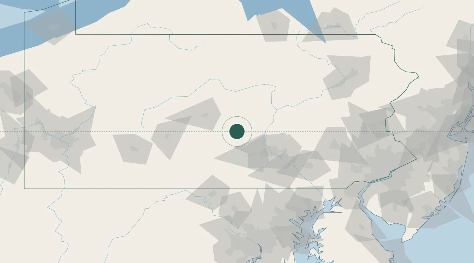
Mifflintown
40.5667°, -77.3833°
926
Population
1
Transport functions
Transport Functions
Multimodal
Hub Profile
Place type
Provincial seat
Region
Pennsylvania
Population
926
Time zone
America/New_York
Elevation
143 m
Location
Nearby Logistics Neighbours
Cities
- 1Lewistown, Mifflin16 km
- 2Newport, Perry25 km
- 3Shermans Dale33 km
- 4Millersburg37 km
- 5Middleburg37 km
Ports
- 1Havre De Grace160 km
- 2Baltimore160 km
- 3Wilmington181 km
- 4New Castle185 km
- 5Deepwater Point186 km
Airports
Trade Zones
DatabookThe Record of Consolidated Knowledge
United States beyond logistics?