Medium airport · United States

Williamsport Regional AirportKIPT
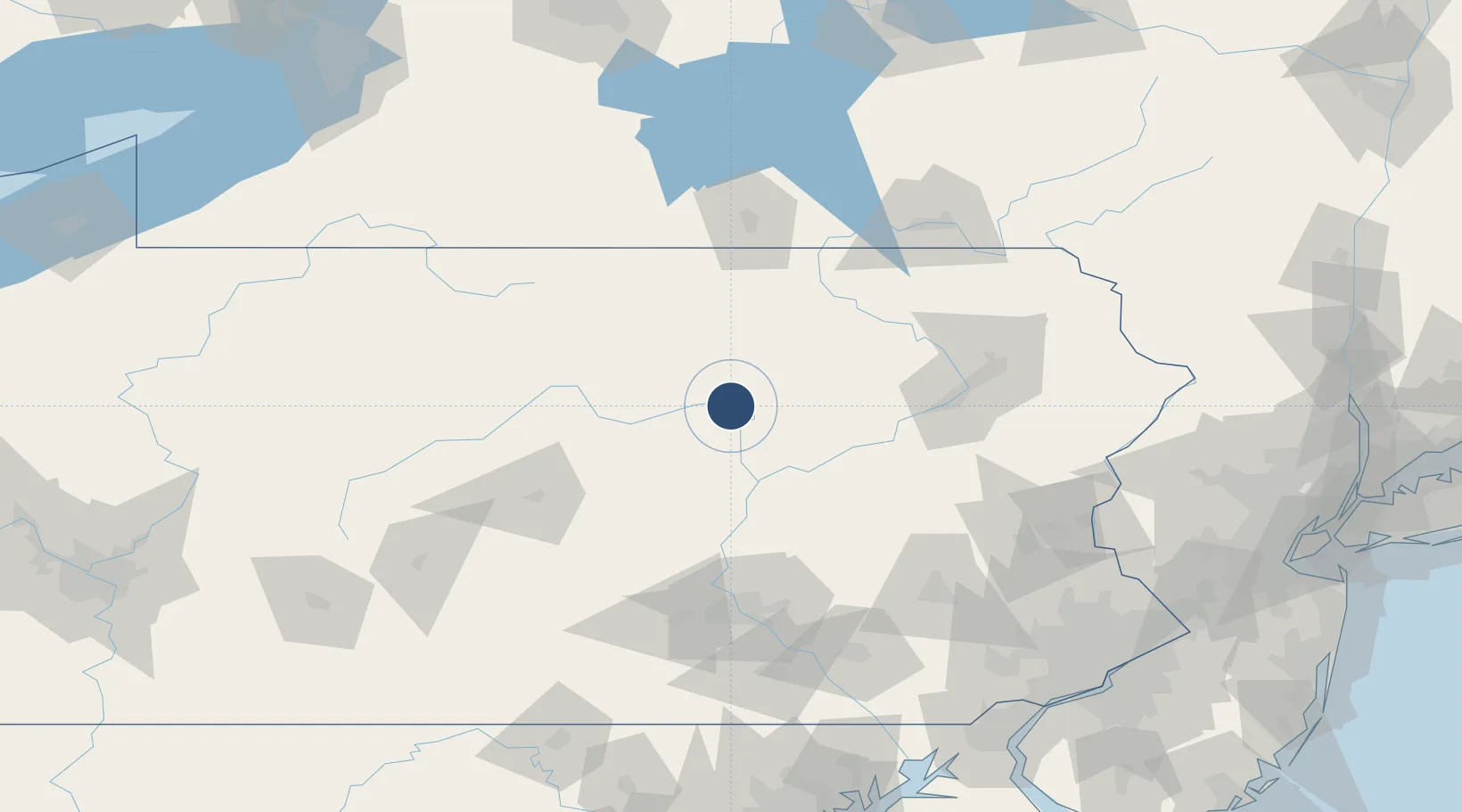
41.2421°, -76.9224°
6,825 ft
Longest runway
2
Runways
529 ft
Elevation

Runway & Layout

Williamsport Regional Airport runway & taxiway layout
Runway & taxiway layout — OpenStreetMap (ODbL) / OurAirports

Radio Frequencies

ASOS
125.225 MHz
TWR
119.1 MHz
GND
121.9 MHz
CLD
124.9 MHz
NEW YORK CLNC DEL
CTAF
119.1 MHz
CNTR
124.9 MHz
NEW YORK CNTR
RDO
122.2 MHz
UNIC
122.95 MHz
UNICOM
OurAirports

Navaids

FQM VOR-DME Williamsport 114.40 MHz
PIX NDB Picture Rocks 344 kHz
OurAirports

Runways · 2

RunwayDimensions SurfaceTrue headingLit
09/27 6,825 × 150ft Asphalt 077°
12/30 4,273 × 150ft Asphalt 106°
OurAirports

Airport Specifications

IATA code
IPT
OurAirports
ICAO code
KIPT
OurAirports
Airport class
Medium airport
OurAirports
Scheduled service
Yes
OurAirports
Runway surface
Asphalt
OurAirports
Served city
Williamsport
OurAirports

Location

Location of KIPT
Natural Earth 10m (public domain) · Pennsylvania · KIPT · 41.24, -76.92GoogleOSMYandex

Nearby Logistics Neighbours

Airports
  1. 1State College Regional Airport89 km
  2. 2Muir Army Air Field (Fort Indiantown Gap) Airport95 km
  3. 3Wilkes-Barre/Scranton International Airport101 km
  4. 4Elmira Corning Regional Airport102 km
  5. 5Harrisburg International Airport118 km
Nearest neighbours — logibook spatial index (haversine) over the source coordinates
Cities
  1. 1South Willamsport7 km
  2. 2Montgomery10 km
  3. 3Allenwood16 km
  4. 4Hughesville18 km
  5. 5Watsontown19 km
Nearest neighbours — logibook spatial index (haversine) over the source coordinates
Ports
  1. 1Havre De Grace203 km
  2. 2Marcus Hook203 km
  3. 3Chester204 km
  4. 4Wilmington204 km
  5. 5Philadelphia209 km
Nearest neighbours — logibook spatial index (haversine) over the source coordinates
Trade Zones
  1. 1FTZ No. 024 Pittston94 km
  2. 2FTZ No. 147 Berks County108 km
  3. 3FTZ No. 272 Counties of Lehigh and Northampton116 km
  4. 4FTZ No. 295 Central Pennsylvania152 km
  5. 5FTZ No. 254 Jefferson County154 km
Nearest neighbours — logibook spatial index (haversine) over the source coordinates
DatabookThe Record of Consolidated Knowledge
United States beyond logistics?
Browse databook

All Sources

AirportsOurAirports
Public domain
Portsthe NGA World Port Index
Public domain (US gov)
LocationsUN/LOCODE
UN/LOCODE — free
Trade Zonesthe World Bank SEZ database
CC BY 4.0
Trade ZonesOpen Zone Map
CC BY
InfrastructureOpenStreetMap
ODbL 1.0
← United States airports