UN/LOCODE hub · United States
USEEH
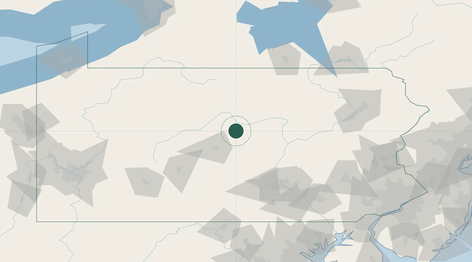
Beech Creek
41.0667°, -77.5667°
700
Population
2
Transport functions
Transport Functions
Rail
Road
Hub Profile
Place type
Populated place
Region
Pennsylvania
Population
700
Time zone
America/New_York
Elevation
195 m
Location
Nearby Logistics Neighbours
Cities
- 1McElhattan20 km
- 2Woolrich21 km
- 3Pleasant Gap27 km
- 4Centre Hall28 km
- 5Jersey Shore30 km
Ports
- 1Havre De Grace212 km
- 2Dunkirk215 km
- 3Baltimore217 km
- 4Wilmington226 km
- 5Marcus Hook229 km
Airports
Trade Zones
DatabookThe Record of Consolidated Knowledge
United States beyond logistics?