UN/LOCODE hub · United States
USPNG
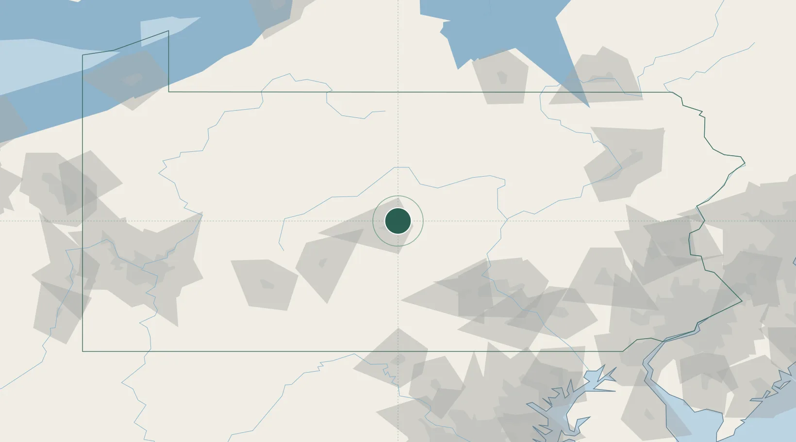
Pleasant Gap
40.8667°, -77.7500°
2,879
Population
3
Transport functions
Transport Functions
Rail
Road
Multimodal
Hub Profile
Place type
Populated place
Region
Pennsylvania
Population
2,879
Time zone
America/New_York
Elevation
299 m
Location
Nearby Logistics Neighbours
Cities
- 1Centre Hall7 km
- 2Clarence24 km
- 3Beech Creek27 km
- 4Winburne34 km
- 5Lewistown, Mifflin35 km
Ports
- 1Baltimore204 km
- 2Havre De Grace205 km
- 3Dunkirk223 km
- 4Wilmington225 km
- 5New Castle229 km
Airports
Trade Zones
DatabookThe Record of Consolidated Knowledge
United States beyond logistics?