Transport Functions
Multimodal
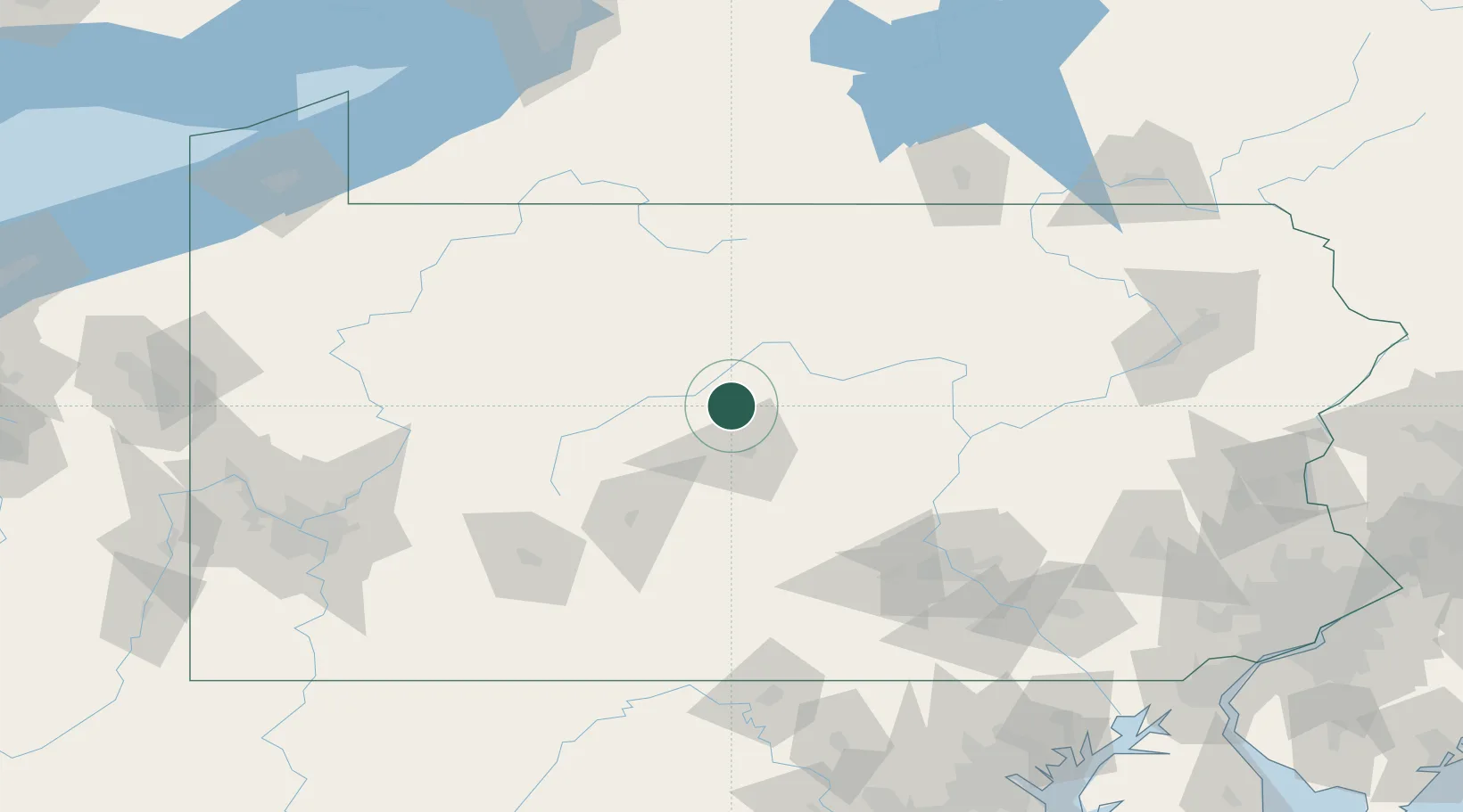
Hub Profile
Place type
Populated place
Region
Pennsylvania
Population
626
Time zone
America/New_York
Elevation
427 m
Location
Nearby Logistics Neighbours
Cities
- 1Winburne18 km
- 2Pleasant Gap24 km
- 3Centre Hall31 km
- 4Beech Creek31 km
- 5Woodland34 km
Ports
- 1Dunkirk199 km
- 2Buffalo220 km
- 3Baltimore228 km
- 4Havre De Grace229 km
- 5Port Colborne233 km
Airports
Trade Zones
- 1FTZ No. 295 Central Pennsylvania67 km
- 2FTZ No. 254 Jefferson County81 km
- 3FTZ No. 147 Berks County157 km
- 4FTZ No. 240 Martinsburg175 km
- 5FTZ No. 024 Pittston181 km
DatabookThe Record of Consolidated Knowledge
United States beyond logistics?