UN/LOCODE hub · United States
USFCP
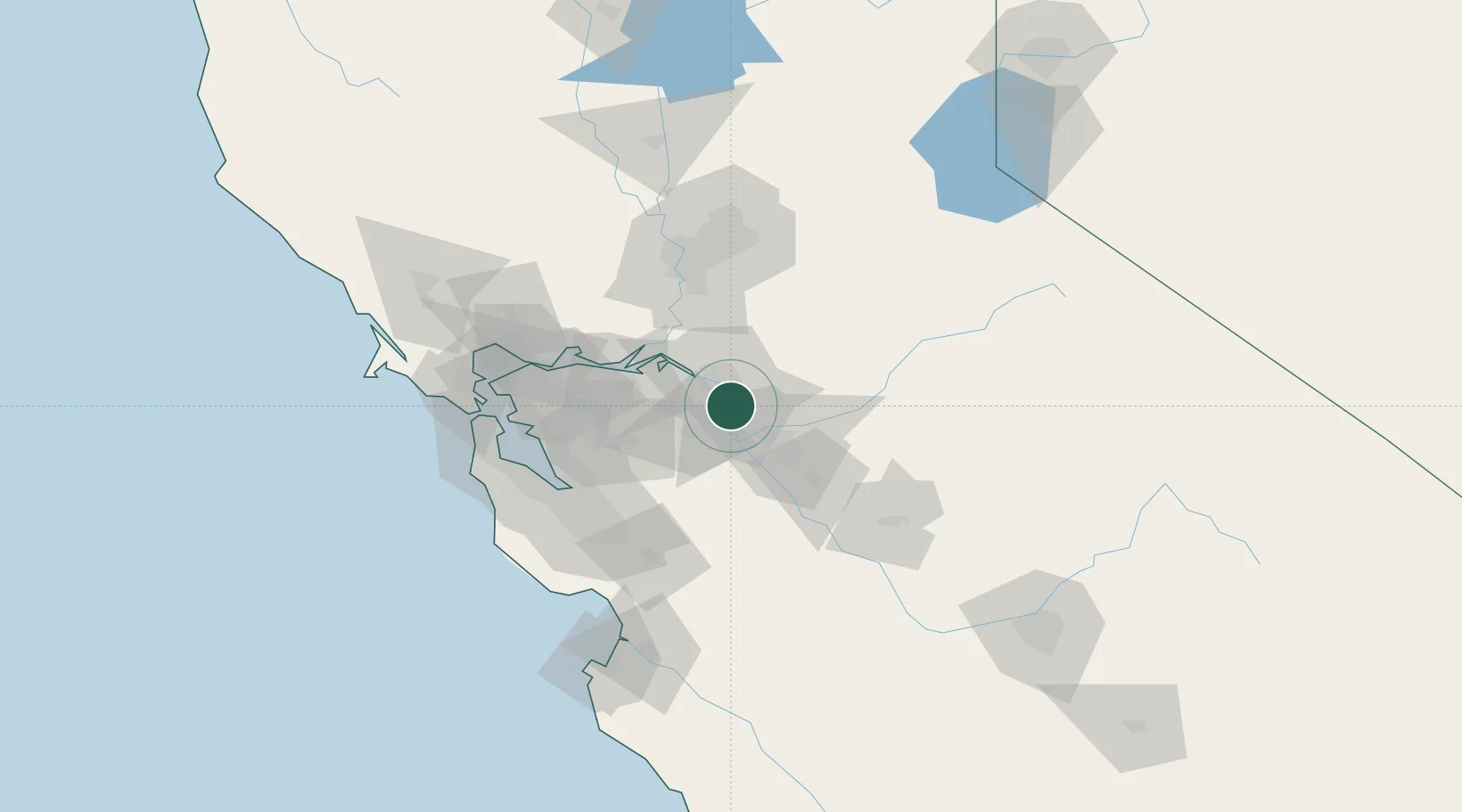
French Camp
37.8544°, -121.2705°
3,376
Population
2
Transport functions
Transport Functions
Rail
Road
Hub Profile
Place type
Populated place
Region
California
Population
3,376
Time zone
America/Los_Angeles
Elevation
6 m
Logistics facilities
3
Location
Nearby Logistics Neighbours
Cities
- 1Stockton7 km
- 2East Stockton13 km
- 3Collegeville13 km
- 4Atlanta14 km
- 5San Joaquin River21 km
Ports
- 1Stockton11 km
- 2Isleton45 km
- 3Walnut Grove47 km
- 4Antioch50 km
- 5Rio Vista50 km
Airports
Trade Zones
DatabookThe Record of Consolidated Knowledge
United States beyond logistics?