Medium airport · United States
Moffett Federal AirfieldKNUQ
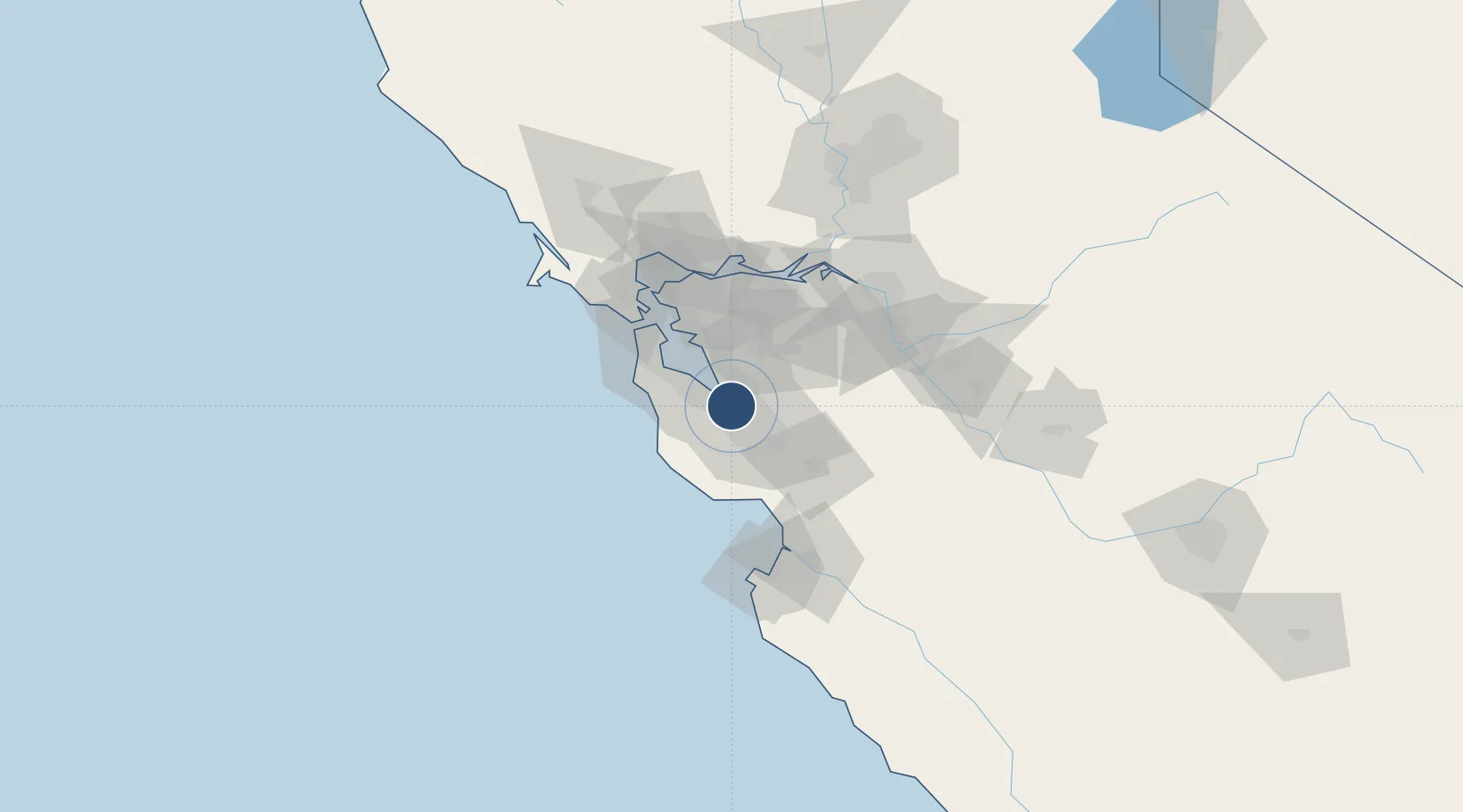
37.4161°, -122.0490°
9,197 ft
Longest runway
2
Runways
32 ft
Elevation
Runway & Layout

Radio Frequencies
ATIS
124.175 MHz
ATIS/ASOS
TWR
119.55 MHz
GND
121.85 MHz
CLD
38.08 MHz
CLNC DEL
APP
31.76 MHz
NORCAL APP
APP
120.1 MHz
NORCAL APP
DEP
121.3 MHz
NORCAL DEP
CTAF
119.55 MHz
MISC
39.09 MHz
ANG
OPS
25.17 MHz
BASE OPS
Navaids
NUQ TACAN Moffett 117.60 MHz
OSI VORTAC Woodside 113.90 MHz
Runways · 2
| Runway | Dimensions | Surface | True heading | Lit |
|---|---|---|---|---|
| 14L/32R | 9,197 × 200ft | Concrete | 158° | ✓ |
| 14R/32L | 8,121 × 200ft | Asphalt | 158° | ✓ |
Airport Specifications
IATA code
NUQ
ICAO code
KNUQ
Airport class
Medium airport
Scheduled service
No
Runway surface
Concrete
Served city
Mountain View
Location
Nearby Logistics Neighbours
Airports
Cities
- 1Portola Valley17 km
- 2Woodside19 km
- 3San Jose23 km
- 4Sunol24 km
- 5Hayward24 km
Ports
- 1Redwood City19 km
- 2Alameda45 km
- 3Davenport46 km
- 4Santa Cruz50 km
- 5Oakland51 km
Trade Zones
- 1FTZ No. 018 San Jose17 km
- 2FTZ No. 056 Oakland48 km
- 3FTZ No. 003 San Francisco52 km
- 4FTZ No. 231 Stockton87 km
- 5FTZ No. 143 West Sacramento138 km
DatabookThe Record of Consolidated Knowledge
United States beyond logistics?