Channel & Berth Profile
Pilotage, Tugs & Services
Pilotage compulsoryYES
Pilotage availableYES
Shore powerNO
Potable waterYES
Diesel bunkersYES
MedicalYES
Garbage disposalYES
Facilities & Capabilities
Container—
Ro-Ro—
Liquid bulk—
Dry bulk—
Oil terminal—
Break bulk—
Dry dock—
RepairsNO
BunkeringYES
Rail linkYES
Dangerous cargo—
ISPS security—
Harbour Specifications
Harbour size
Very Small
Harbour type
River (Natural)
Shelter
Excellent
Water body
North Pacific Ocean
Tidal range
0.9 m
Overhead limit
Yes
Pilotage
Yes
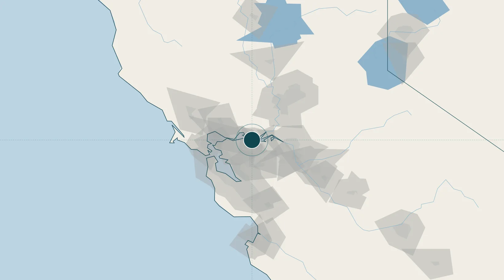
Location
Nearby Logistics Neighbours
Ports
- 1Antioch8 km
- 2Rio Vista21 km
- 3Martinez22 km
- 4Benicia23 km
- 5Port Costa26 km
Cities
- 1Bay Point6 km
- 2Port Chicago12 km
- 3Clayton12 km
- 4Pacheco17 km
- 5Benicia23 km
Airports
Trade Zones
- 1FTZ No. 056 Oakland43 km
- 2FTZ No. 231 Stockton50 km
- 3FTZ No. 003 San Francisco52 km
- 4FTZ No. 143 West Sacramento69 km
- 5FTZ No. 018 San Jose77 km
DatabookThe Record of Consolidated Knowledge
United States beyond logistics?