UN/LOCODE hub · United States
USOGU
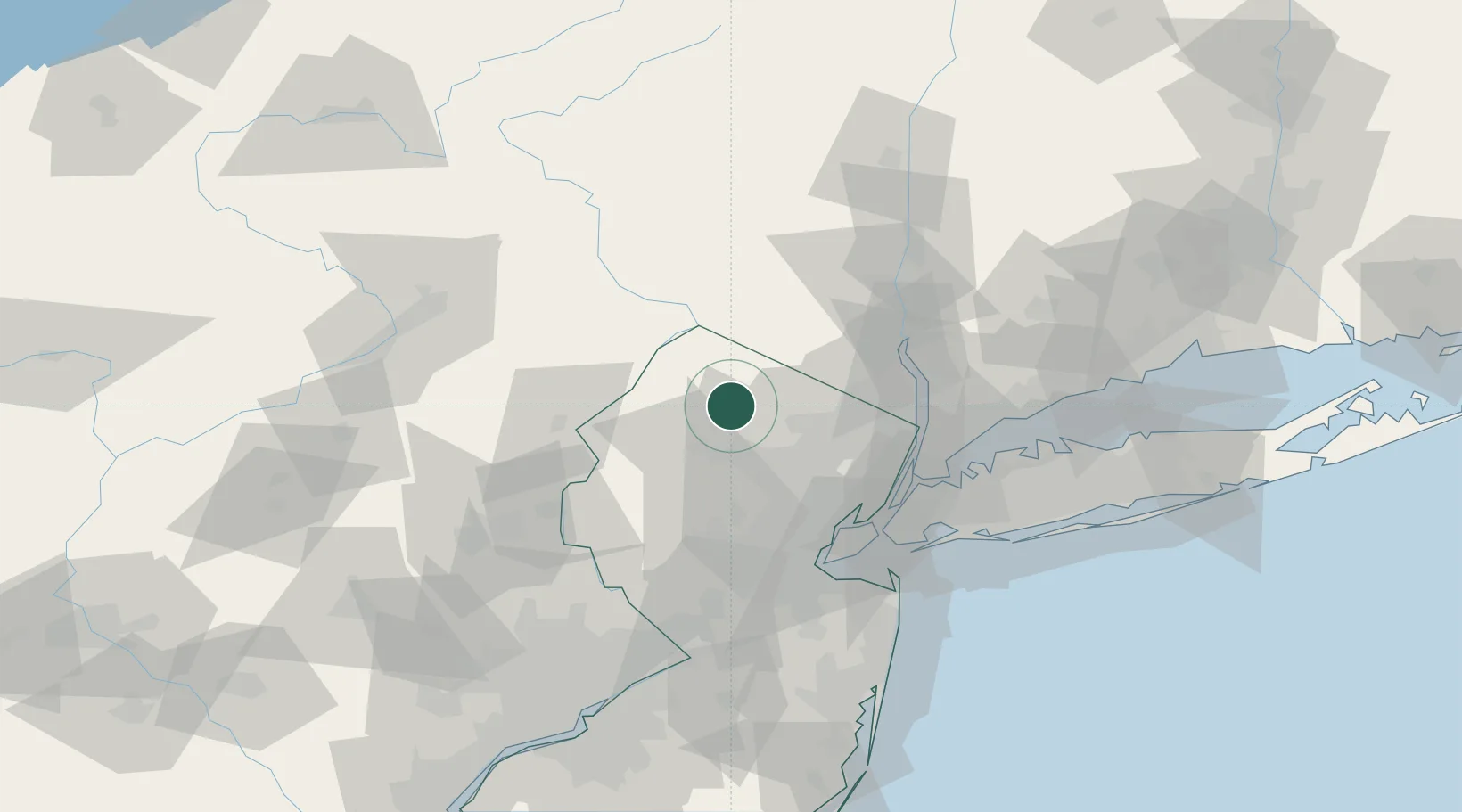
Ogdensburg
41.0667°, -74.5833°
2,286
Population
3
Transport functions
Transport Functions
Rail
Road
Multimodal
Hub Profile
Place type
Populated place
Region
New Jersey
Population
2,286
Time zone
America/New_York
Elevation
206 m
Location
Nearby Logistics Neighbours
Cities
- 1Green Pond11 km
- 2Picatinny Arsenal14 km
- 3Verno15 km
- 4Branchville16 km
- 5Point Pleasant18 km
Ports
- 1Newark55 km
- 2Elizabethport57 km
- 3Edgewater58 km
- 4Bayway58 km
- 5Weehawken58 km
Airports
Trade Zones
DatabookThe Record of Consolidated Knowledge
United States beyond logistics?