UN/LOCODE hub · United States
USAHI
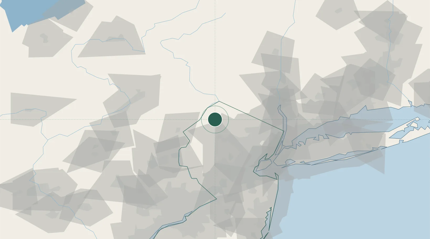
Branchville
41.1333°, -74.7500°
802
Population
2
Transport functions
Transport Functions
Road
Multimodal
Hub Profile
Place type
Populated place
Region
New Jersey
Population
802
Time zone
America/New_York
Elevation
174 m
Location
Nearby Logistics Neighbours
Cities
- 1Ogdensburg16 km
- 2Bushkill22 km
- 3Johnsonburg23 km
- 4Verno23 km
- 5Point Pleasant26 km
Ports
- 1Newark70 km
- 2Elizabethport72 km
- 3Bayway72 km
- 4Edgewater73 km
- 5Weehawken74 km
Airports
Trade Zones
DatabookThe Record of Consolidated Knowledge
United States beyond logistics?