Large airport · United States

Newark Liberty International AirportKEWR
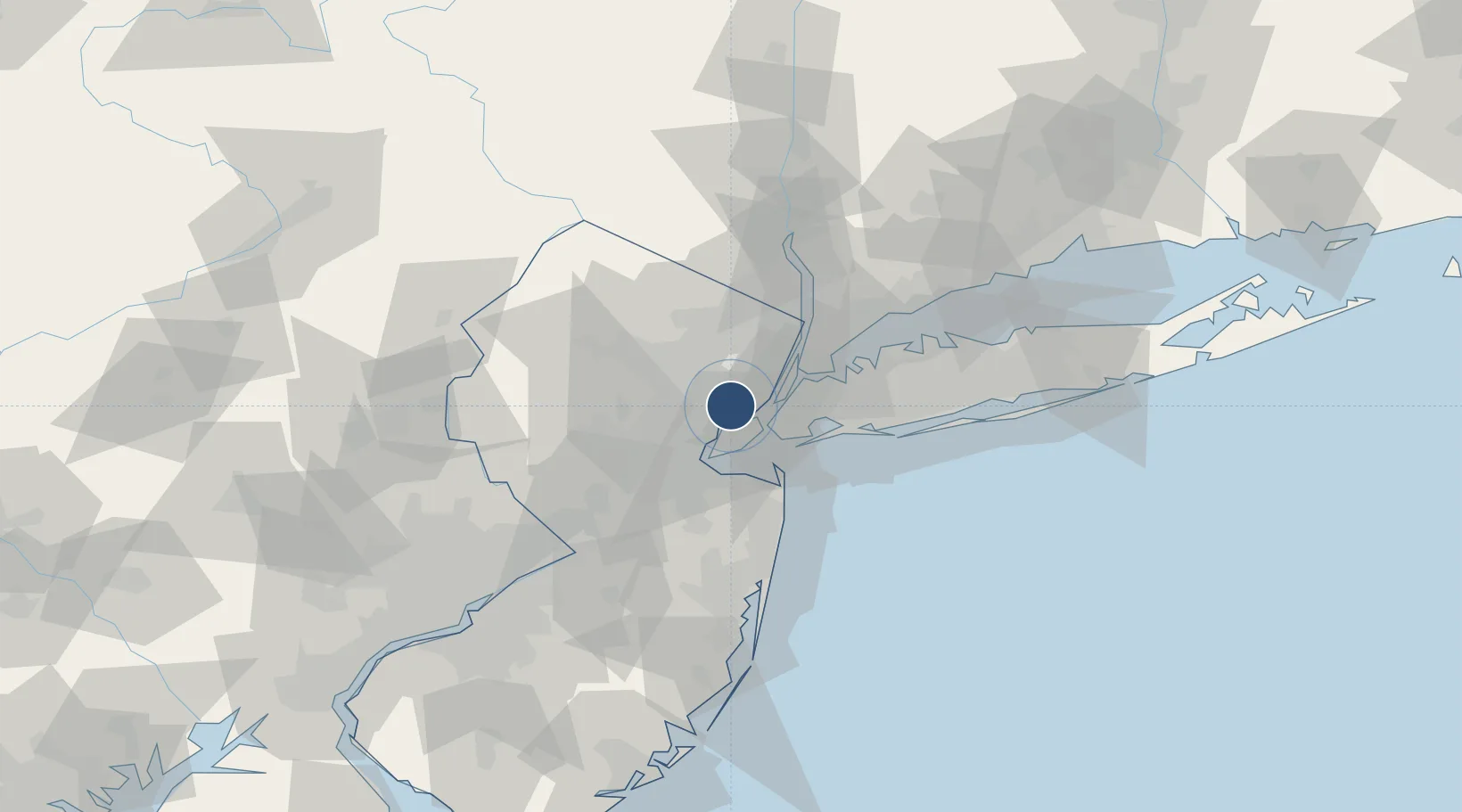
40.6894°, -74.1705°
11,000 ft
Longest runway
3
Runways
18 ft
Elevation

Runway & Layout

Newark Liberty International Airport runway & taxiway layout
Runway & taxiway layout — OpenStreetMap (ODbL) / OurAirports

Radio Frequencies

ATIS
115.7 MHz
TWR
118.3 MHz
GND
121.8 MHz
CLD
118.85 MHz
CLNC DEL
APP
127.6 MHz
NEW YORK APP
DEP
119.2 MHz
NEW YORK DEP
UNIC
122.95 MHz
UNICOM
OurAirports

Navaids

EW NDB Chesa 241 kHz
EZ NDB Lizah 373 kHz
OurAirports

Runways · 3

RunwayDimensions SurfaceTrue headingLit
04L/22R 11,000 × 150ft Asphalt 026°
04R/22L 9,999 × 150ft Asphalt 026°
11/29 6,725 × 150ft Asphalt 095°
OurAirports

Airport Specifications

IATA code
EWR
OurAirports
ICAO code
KEWR
OurAirports
Airport class
Large airport
OurAirports
Scheduled service
Yes
OurAirports
Runway surface
Asphalt
OurAirports
Served city
Newark
OurAirports

Location

Location of KEWR
Natural Earth 10m (public domain) · New Jersey · KEWR · 40.69, -74.17GoogleOSMYandex

Nearby Logistics Neighbours

Airports
  1. 1West 30th Street Heliport16 km
  2. 2New York Skyports Inc Seaplane Base17 km
  3. 3East 34th Street Heliport18 km
  4. 4Teterboro Airport20 km
  5. 5Morristown Municipal Airport24 km
Nearest neighbours — logibook spatial index (haversine) over the source coordinates
Cities
  1. 1Port Newark2 km
  2. 2Newark2 km
  3. 3New York4 km
  4. 4Staten Island6 km
  5. 5Bayonne6 km
Nearest neighbours — logibook spatial index (haversine) over the source coordinates
Ports
  1. 1Newark2 km
  2. 2Elizabethport5 km
  3. 3Port Richmond SI5 km
  4. 4Bayonne6 km
  5. 5Bayway7 km
Nearest neighbours — logibook spatial index (haversine) over the source coordinates
Trade Zones
  1. 1FTZ No. 049 Newark Elizabeth1 km
  2. 2FTZ No. 001 New York City14 km
  3. 3FTZ No. 044 Morris County61 km
  4. 4FTZ No. 235 Lakewood69 km
  5. 5FTZ No. 200 Mercer County73 km
Nearest neighbours — logibook spatial index (haversine) over the source coordinates
DatabookThe Record of Consolidated Knowledge
United States beyond logistics?
Browse databook

All Sources

AirportsOurAirports
Public domain
Portsthe NGA World Port Index
Public domain (US gov)
LocationsUN/LOCODE
UN/LOCODE — free
Trade Zonesthe World Bank SEZ database
CC BY 4.0
Trade ZonesOpen Zone Map
CC BY
InfrastructureOpenStreetMap
ODbL 1.0
← United States airports