Transport Functions
Multimodal
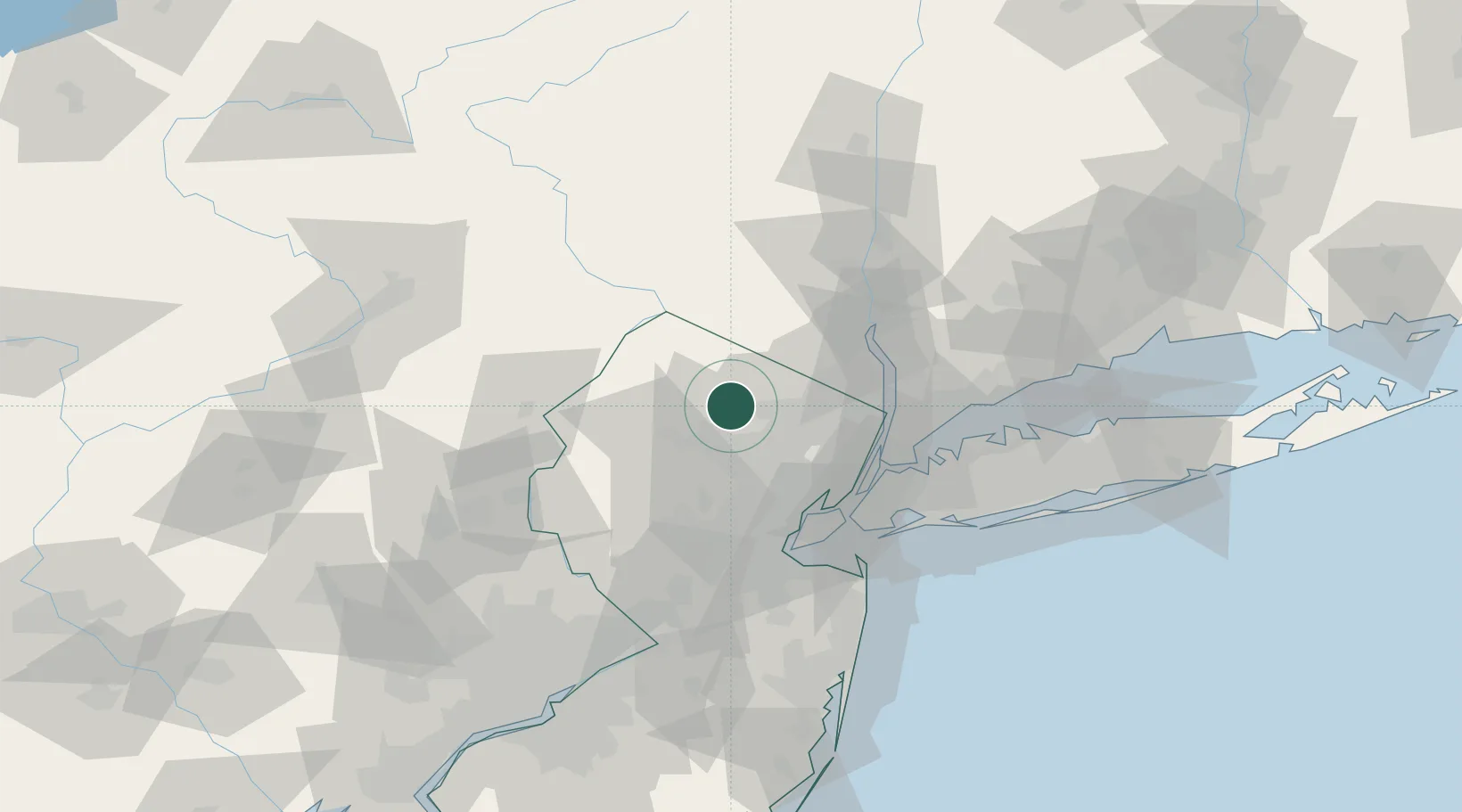
Hub Profile
Place type
Populated place
Region
New Jersey
Time zone
America/New_York
Elevation
321 m
Location
Nearby Logistics Neighbours
Cities
- 1Picatinny Arsenal9 km
- 2Ogdensburg11 km
- 3Mountain Lakes13 km
- 4Haskell15 km
- 5Lake Hiawatha16 km
Ports
- 1Newark44 km
- 2Edgewater46 km
- 3Weehawken47 km
- 4Elizabethport47 km
- 5Hoboken48 km
Airports
Trade Zones
DatabookThe Record of Consolidated Knowledge
United States beyond logistics?