UN/LOCODE hub · United States
USFR6
Four Oaks
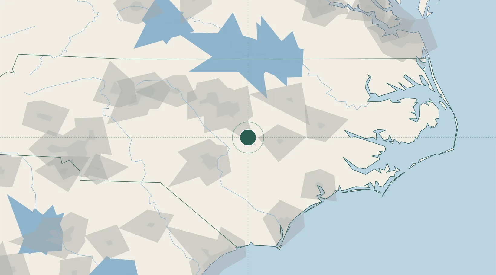
35.4333°, -78.4167°
2,050
Population
1
Transport functions
Transport Functions
Port
Hub Profile
Place type
Populated place
Region
North Carolina
Population
2,050
Time zone
America/New_York
Elevation
60 m
Location
Nearby Logistics Neighbours
Cities
- 1Pine Level, Johnston18 km
- 2Coats23 km
- 3Kenly31 km
- 4Garner34 km
- 5Knightdale39 km
Ports
- 1Washington124 km
- 2New Bern130 km
- 3Wilmington140 km
- 4Wrightsville146 km
- 5Plymouth158 km
Airports
Trade Zones
- 1FTZ No. 214 Lenoir County53 km
- 2FTZ No. 093 Raleigh Durham69 km
- 3FTZ No. 230 Piedmont Triad Area178 km
- 4FTZ No. 020 Suffolk233 km
- 5FTZ No. 057 Mecklenburg County243 km
DatabookThe Record of Consolidated Knowledge
United States beyond logistics?