Transport Functions
Rail
Road
Multimodal
Hub Profile
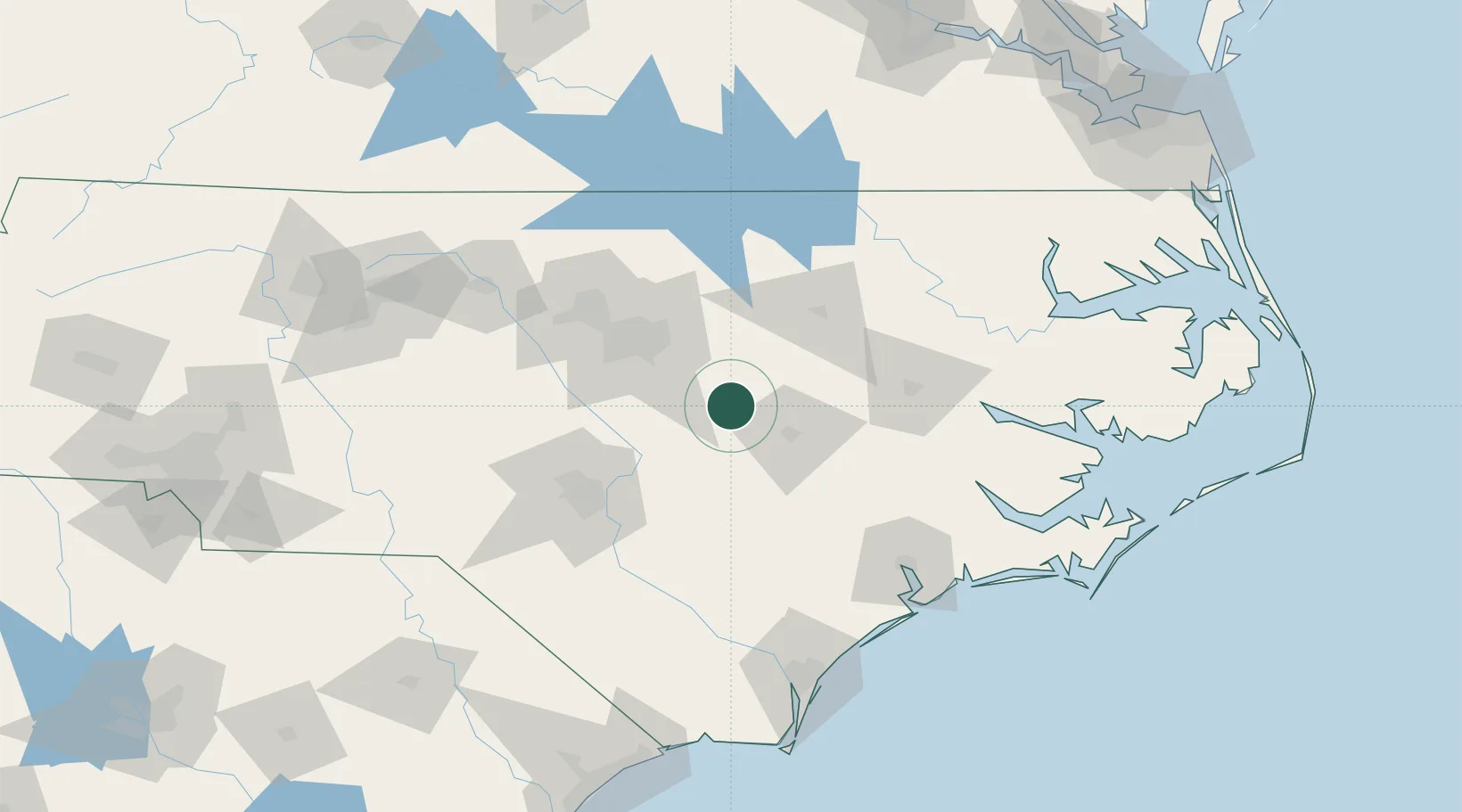
Region
NC
Location
Nearby Logistics Neighbours
Cities
- 1Kenly13 km
- 2Four Oaks18 km
- 3Middlesex30 km
- 4Knightdale36 km
- 5Garner38 km
Ports
- 1Washington109 km
- 2New Bern118 km
- 3Plymouth141 km
- 4Wilmington145 km
- 5Belhaven148 km
Airports
Trade Zones
- 1FTZ No. 214 Lenoir County47 km
- 2FTZ No. 093 Raleigh Durham73 km
- 3FTZ No. 230 Piedmont Triad Area187 km
- 4FTZ No. 020 Suffolk216 km
- 5FTZ No. 207 Richmond232 km
DatabookThe Record of Consolidated Knowledge
United States beyond logistics?