Transport Functions
Port
Rail
Road
Multimodal
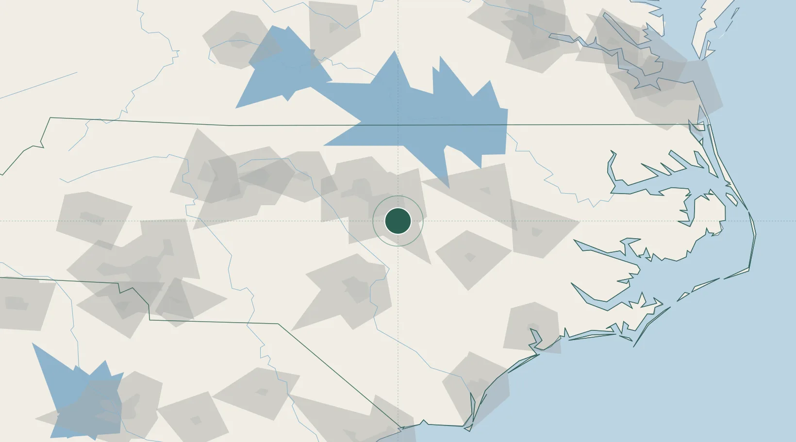
Hub Profile
Place type
Populated place
Region
North Carolina
Population
28,053
Time zone
America/New_York
Elevation
110 m
Location
Nearby Logistics Neighbours
Cities
- 1Knightdale15 km
- 2Morrisville24 km
- 3Rolesville28 km
- 4New Hill30 km
- 5Research Triangle Park34 km
Ports
- 1Washington141 km
- 2New Bern156 km
- 3Plymouth168 km
- 4Wilmington174 km
- 5Belhaven179 km
Airports
Trade Zones
- 1FTZ No. 093 Raleigh Durham36 km
- 2FTZ No. 214 Lenoir County84 km
- 3FTZ No. 230 Piedmont Triad Area150 km
- 4FTZ No. 207 Richmond223 km
- 5FTZ No. 020 Suffolk226 km
DatabookThe Record of Consolidated Knowledge
United States beyond logistics?