Transport Functions
Port
Hub Profile
Place type
Populated place
Region
Virginia
Time zone
America/New_York
Elevation
175 m
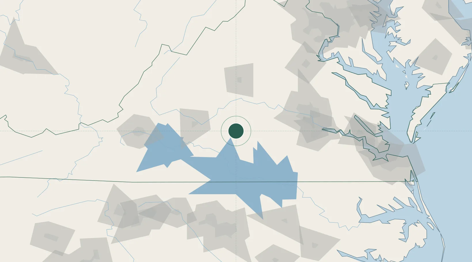
Location
Nearby Logistics Neighbours
Cities
- 1Pamplin12 km
- 2Keysville30 km
- 3Harrisburg35 km
- 4Jetersville40 km
- 5Crewe41 km
Ports
- 1Richmond103 km
- 2Fredericksburg147 km
- 3West Point157 km
- 4Yorktown182 km
- 5Newport News191 km
Airports
Trade Zones
- 1FTZ No. 207 Richmond91 km
- 2FTZ No. 185 Culpeper County140 km
- 3FTZ No. 093 Raleigh Durham158 km
- 4FTZ No. 020 Suffolk180 km
- 5FTZ No. 230 Piedmont Triad Area189 km
DatabookThe Record of Consolidated Knowledge
United States beyond logistics?