UN/LOCODE hub · United States
USVGN
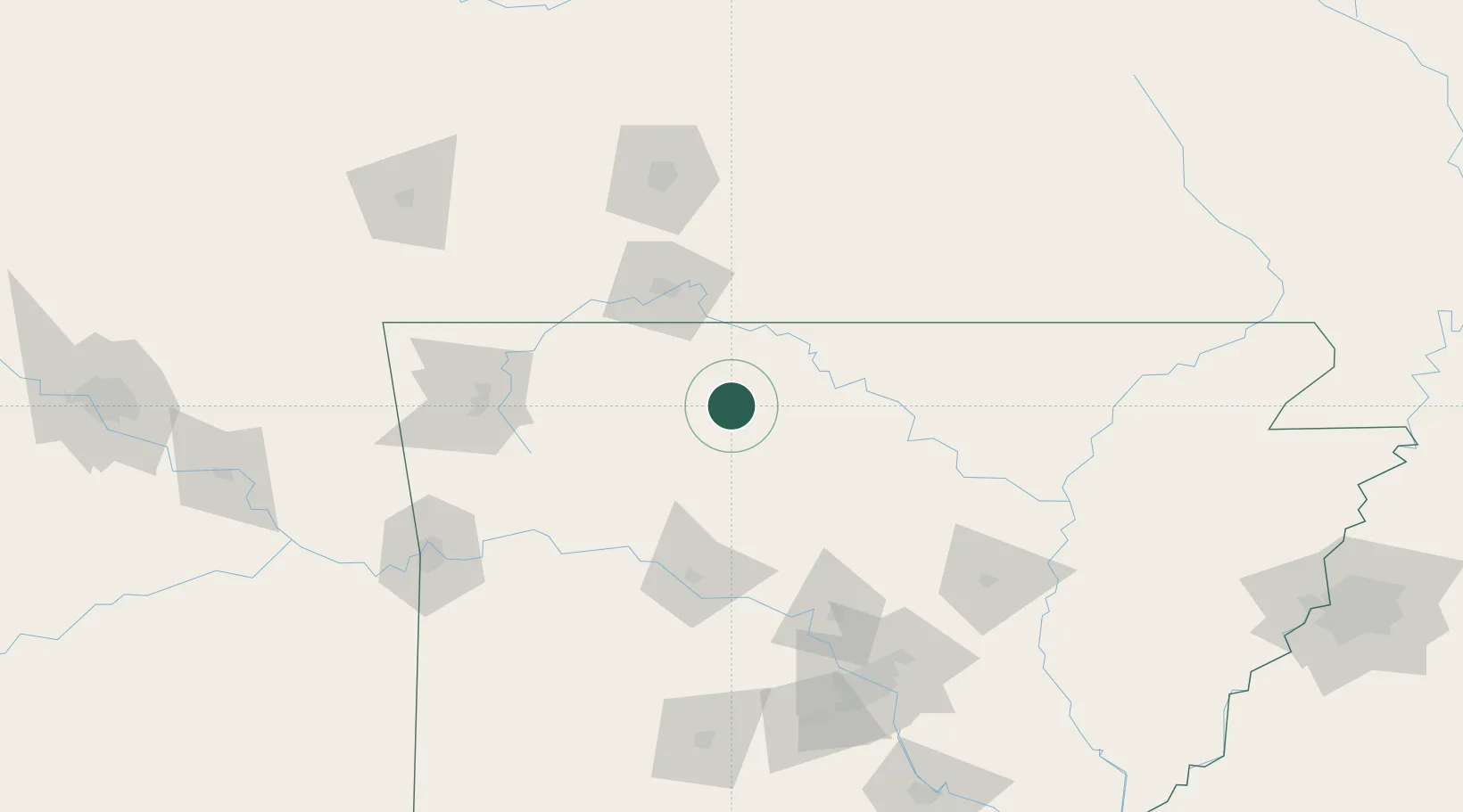
Western Grove
36.1000°, -92.9500°
364
Population
2
Transport functions
Transport Functions
Road
Multimodal
Hub Profile
Place type
Populated place
Region
Arkansas
Population
364
Time zone
America/Chicago
Elevation
327 m
Location
Nearby Logistics Neighbours
Ports
- 1Port Of Memphis277 km
- 2Baton Rouge649 km
- 3Lake Charles655 km
- 4Orange673 km
- 5Beaumont677 km
Airports
- 1Boone County Airport26 km
- 2Ozark Regional Airport52 km
- 3Branson Airport53 km
- 4Drake Field110 km
- 5Northwest Arkansas National Airport123 km
Trade Zones
- 1FTZ No. 225 Springfield124 km
- 2FTZ No. 014 Little Rock169 km
- 3FTZ No. 164 Muskogee228 km
- 4FTZ No. 287 Tunica County261 km
- 5FTZ No. 053 Rogers County262 km
DatabookThe Record of Consolidated Knowledge
United States beyond logistics?