Transport Functions
Rail
Road
Multimodal
Hub Profile
Place type
Populated place
Region
Arkansas
Population
1,335
Time zone
America/Chicago
Elevation
198 m
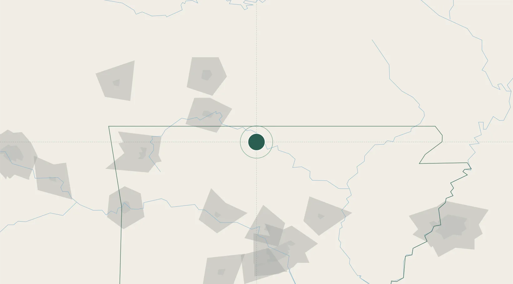
Location
Nearby Logistics Neighbours
Cities
- 1Midway16 km
- 2Norfork29 km
- 3Western Grove37 km
- 4Tecumseh43 km
- 5Mountain View64 km
Ports
- 1Port Of Memphis258 km
- 2Baton Rouge662 km
- 3Lake Charles677 km
- 4Madisonville693 km
- 5Orange697 km
Airports
- 1Ozark Regional Airport15 km
- 2Boone County Airport50 km
- 3Branson Airport60 km
- 4Springfield Branson National Airport128 km
- 5Drake Field144 km
Trade Zones
- 1FTZ No. 225 Springfield113 km
- 2FTZ No. 014 Little Rock178 km
- 3FTZ No. 077 Memphis248 km
- 4FTZ No. 287 Tunica County251 km
- 5FTZ No. 273 West Memphis252 km
DatabookThe Record of Consolidated Knowledge
United States beyond logistics?