Transport Functions
Rail
Road
Multimodal
Hub Profile
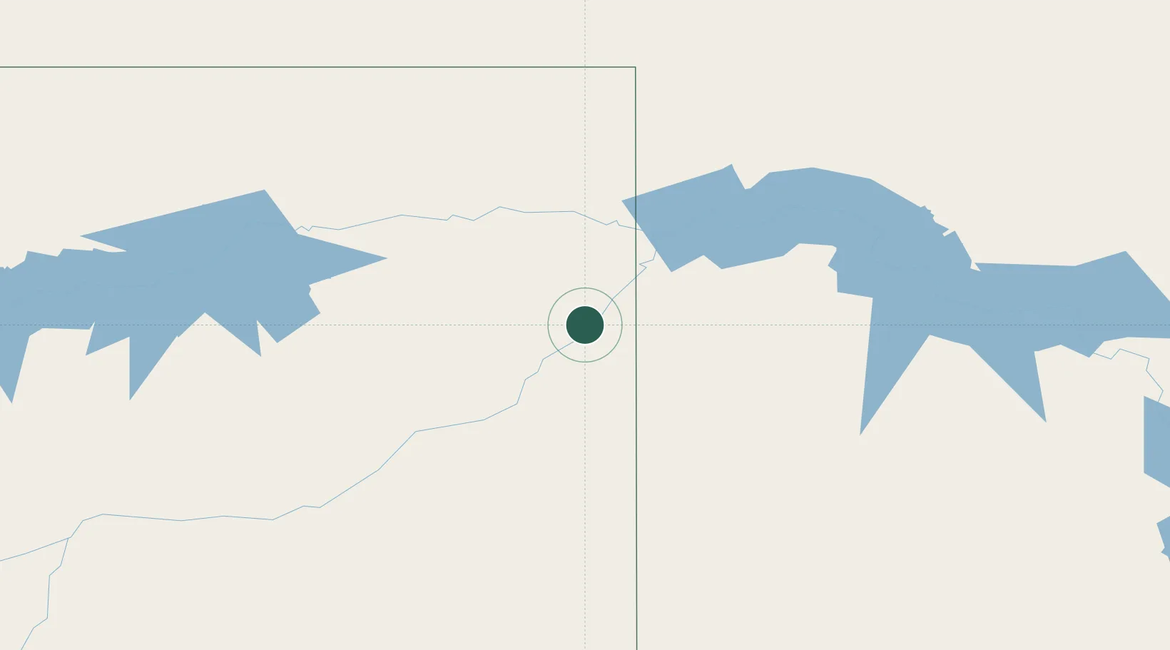
Place type
Populated place
Region
Montana
Time zone
America/Denver
Elevation
604 m
Location
Nearby Logistics Neighbours
Ports
- 1Duluth929 km
- 2Superior932 km
- 3Two Harbors959 km
- 4Washburn1023 km
- 5Ashland1025 km
Airports
Trade Zones
- 1Global Transportation Hub Authority334 km
- 2FTZ No. 088 Great Falls533 km
- 3FTZ No. 103 Grand Forks540 km
- 4FTZ No. 267 Fargo562 km
- 5Winnipegs Centreport Canada595 km
DatabookThe Record of Consolidated Knowledge
United States beyond logistics?