Medium airport · United States

Williston Basin International AirportKXWA

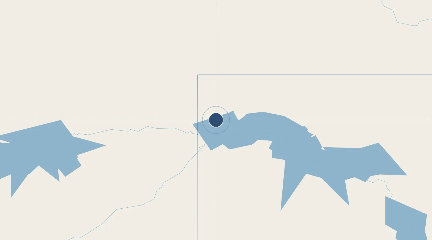
48.2609°, -103.7512°
7,503 ft
Longest runway
1
Runways
2,344 ft
Elevation

Runway & Layout

Williston Basin International Airport runway & taxiway layout
Runway & taxiway layout — OpenStreetMap (ODbL) / OurAirports

Runways · 1

RunwayDimensions SurfaceTrue headingLit
14/32 7,503 × 150ft Concrete 148°
OurAirports

Airport Specifications

IATA code
XWA
OurAirports
ICAO code
KXWA
OurAirports
Airport class
Medium airport
OurAirports
Scheduled service
Yes
OurAirports
Runway surface
Concrete
OurAirports
Served city
Williston
OurAirports

Location

Location of KXWA
Natural Earth 10m (public domain) · North Dakota · KXWA · 48.26, -103.75GoogleOSMYandex

Nearby Logistics Neighbours

Airports
  1. 1Sidney - Richland Regional Airport70 km
  2. 2Estevan Airport120 km
  3. 3L M Clayton Airport137 km
  4. 4Dawson Community Airport148 km
  5. 5Dickinson Theodore Roosevelt Regional Airport178 km
Nearest neighbours — logibook spatial index (haversine) over the source coordinates
Cities
  1. 1Alexander48 km
  2. 2Raymond91 km
  3. 3Savage101 km
  4. 4North Portal121 km
  5. 5Bienfait121 km
Nearest neighbours — logibook spatial index (haversine) over the source coordinates
Ports
  1. 1Duluth890 km
  2. 2Superior893 km
  3. 3Two Harbors916 km
  4. 4Washburn982 km
  5. 5Bayfield983 km
Nearest neighbours — logibook spatial index (haversine) over the source coordinates
Trade Zones
  1. 1Global Transportation Hub Authority254 km
  2. 2FTZ No. 103 Grand Forks490 km
  3. 3Winnipegs Centreport Canada515 km
  4. 4FTZ No. 267 Fargo532 km
  5. 5FTZ No. 088 Great Falls580 km
Nearest neighbours — logibook spatial index (haversine) over the source coordinates
DatabookThe Record of Consolidated Knowledge
United States beyond logistics?
Browse databook

All Sources

AirportsOurAirports
Public domain
Portsthe NGA World Port Index
Public domain (US gov)
LocationsUN/LOCODE
UN/LOCODE — free
Trade Zonesthe World Bank SEZ database
CC BY 4.0
Trade ZonesOpen Zone Map
CC BY
InfrastructureOpenStreetMap
ODbL 1.0
← United States airports