Medium airport · United States
Dickinson Theodore Roosevelt Regional AirportKDIK
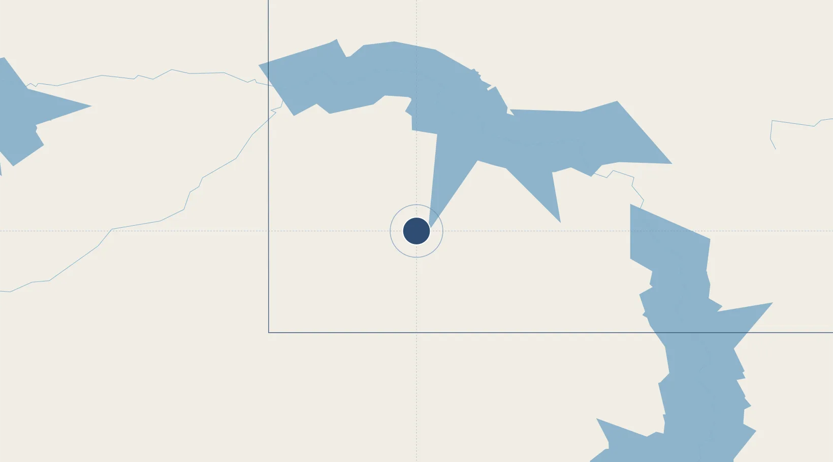
46.7975°, -102.8019°
7,301 ft
Longest runway
2
Runways
2,592 ft
Elevation
Runway & Layout

Radio Frequencies
CNTR
124.25 MHz
MINNEAPOLIS CNTR
RDO
122.2 MHz
GRAND FORKS RDO
UNIC
123 MHz
CTAF/UNICOM
Navaids
DI NDB Noson 353 kHz
DIK VORTAC Dickinson 112.90 MHz
Runways · 2
| Runway | Dimensions | Surface | True heading | Lit |
|---|---|---|---|---|
| 14/32 | 7,301 × 150ft | Asphalt | 150° | ✓ |
| 07/25 | 4,700 × 75ft | Asphalt | 080° | ✓ |
Airport Specifications
IATA code
DIK
ICAO code
KDIK
Airport class
Medium airport
Scheduled service
Yes
Runway surface
Asphalt
Served city
Dickinson
Location
Nearby Logistics Neighbours
Airports
Cities
- 1Fryburg39 km
- 2Hebron58 km
- 3Glen Ullin74 km
- 4Reeder78 km
- 5Gascoyne79 km
Ports
- 1Duluth814 km
- 2Superior817 km
- 3Two Harbors847 km
- 4Washburn908 km
- 5Ashland910 km
Trade Zones
- 1Global Transportation Hub Authority430 km
- 2FTZ No. 103 Grand Forks442 km
- 3FTZ No. 267 Fargo444 km
- 4Winnipegs Centreport Canada542 km
- 5FTZ No. 220 Sioux Falls593 km
DatabookThe Record of Consolidated Knowledge
United States beyond logistics?