Transport Functions
Rail
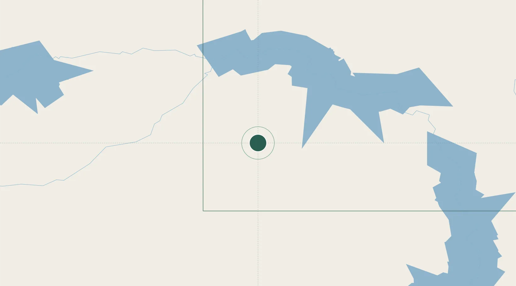
Hub Profile
Place type
Populated place
Region
North Dakota
Time zone
America/Denver
Elevation
849 m
Location
Nearby Logistics Neighbours
Ports
- 1Duluth852 km
- 2Superior855 km
- 3Two Harbors884 km
- 4Washburn945 km
- 5Ashland947 km
Airports
Trade Zones
- 1Global Transportation Hub Authority412 km
- 2FTZ No. 103 Grand Forks476 km
- 3FTZ No. 267 Fargo481 km
- 4Winnipegs Centreport Canada566 km
- 5FTZ No. 088 Great Falls619 km
DatabookThe Record of Consolidated Knowledge
United States beyond logistics?