Medium airport · United States

L M Clayton AirportKOLF

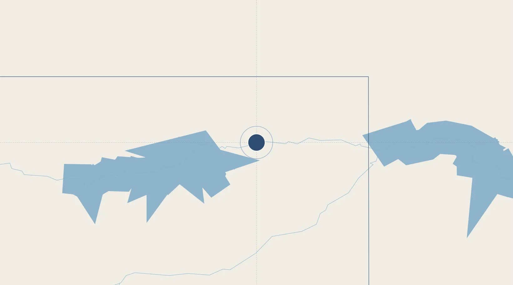
48.0945°, -105.5750°
5,091 ft
Longest runway
1
Runways
1,986 ft
Elevation

Runway & Layout

L M Clayton Airport runway & taxiway layout
Runway & taxiway layout — OpenStreetMap (ODbL) / OurAirports

Radio Frequencies

ASOS
118.325 MHz
CNTR
126.85 MHz
SALT LAKE CITY CNTR
RDO
122.45 MHz
GREAT FALLS RDO
UNIC
122.8 MHz
CTAF/UNICOM
OurAirports

Runways · 1

RunwayDimensions SurfaceTrue headingLit
11/29 5,091 × 100ft Asphalt 120°
OurAirports

Airport Specifications

IATA code
OLF
OurAirports
ICAO code
KOLF
OurAirports
Airport class
Medium airport
OurAirports
Scheduled service
Yes
OurAirports
Runway surface
Asphalt
OurAirports
Served city
Wolf Point
OurAirports

Location

Location of KOLF
Natural Earth 10m (public domain) · Montana · KOLF · 48.09, -105.57GoogleOSMYandex

Nearby Logistics Neighbours

Airports
  1. 1Glasgow Valley County Airport Wokal Field78 km
  2. 2Sidney - Richland Regional Airport112 km
  3. 3Dawson Community Airport121 km
  4. 4Williston Basin International Airport137 km
  5. 5Miles City Airport - Frank Wiley Field187 km
Nearest neighbours — logibook spatial index (haversine) over the source coordinates
Cities
  1. 1Raymond113 km
  2. 2Savage116 km
  3. 3Alexander148 km
  4. 4Assiniboia172 km
  5. 5Beach177 km
Nearest neighbours — logibook spatial index (haversine) over the source coordinates
Ports
  1. 1Duluth1023 km
  2. 2Superior1026 km
  3. 3Two Harbors1050 km
  4. 4Washburn1116 km
  5. 5Bayfield1117 km
Nearest neighbours — logibook spatial index (haversine) over the source coordinates
Trade Zones
  1. 1Global Transportation Hub Authority268 km
  2. 2FTZ No. 088 Great Falls443 km
  3. 3FTZ No. 187 Toole County500 km
  4. 4FTZ No. 275 Lansing576 km
  5. 5FTZ No. 274 Butte-Silver Bow607 km
Nearest neighbours — logibook spatial index (haversine) over the source coordinates
DatabookThe Record of Consolidated Knowledge
United States beyond logistics?
Browse databook

All Sources

AirportsOurAirports
Public domain
Portsthe NGA World Port Index
Public domain (US gov)
LocationsUN/LOCODE
UN/LOCODE — free
Trade Zonesthe World Bank SEZ database
CC BY 4.0
Trade ZonesOpen Zone Map
CC BY
InfrastructureOpenStreetMap
ODbL 1.0
← United States airports