Transport Functions
Road
Multimodal
Hub Profile
Place type
Provincial seat
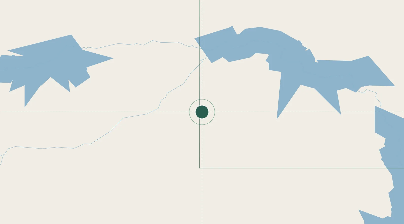
Region
North Dakota
Population
1,115
Time zone
America/Denver
Elevation
845 m
Location
Nearby Logistics Neighbours
Ports
- 1Duluth904 km
- 2Superior907 km
- 3Two Harbors936 km
- 4Washburn998 km
- 5Ashland1000 km
Airports
Trade Zones
- 1Global Transportation Hub Authority396 km
- 2FTZ No. 103 Grand Forks525 km
- 3FTZ No. 267 Fargo534 km
- 4FTZ No. 088 Great Falls566 km
- 5Winnipegs Centreport Canada605 km
DatabookThe Record of Consolidated Knowledge
United States beyond logistics?