UN/LOCODE hub · United States
USAKX
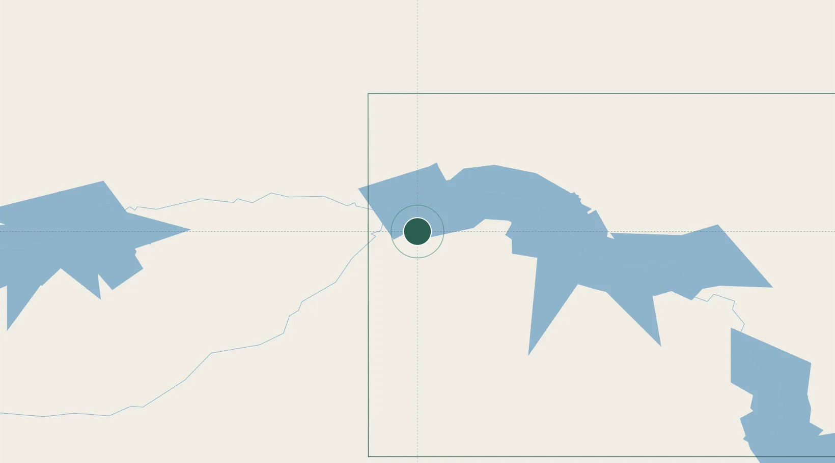
Alexander
47.8333°, -103.6333°
252
Population
2
Transport functions
Transport Functions
Road
Multimodal
Hub Profile
Place type
Populated place
Region
North Dakota
Population
252
Time zone
America/Chicago
Elevation
667 m
Location
Nearby Logistics Neighbours
Cities
- 1Savage69 km
- 2Beach106 km
- 3Fryburg110 km
- 4Raymond135 km
- 5North Portal152 km
Ports
- 1Duluth877 km
- 2Superior880 km
- 3Two Harbors905 km
- 4Washburn970 km
- 5Bayfield972 km
Airports
Trade Zones
- 1Global Transportation Hub Authority302 km
- 2FTZ No. 103 Grand Forks482 km
- 3FTZ No. 267 Fargo514 km
- 4Winnipegs Centreport Canada527 km
- 5FTZ No. 088 Great Falls586 km
DatabookThe Record of Consolidated Knowledge
United States beyond logistics?