Transport Functions
Rail
Road
Hub Profile
Place type
Populated place
Region
North Dakota
Population
16
Time zone
America/Denver
Elevation
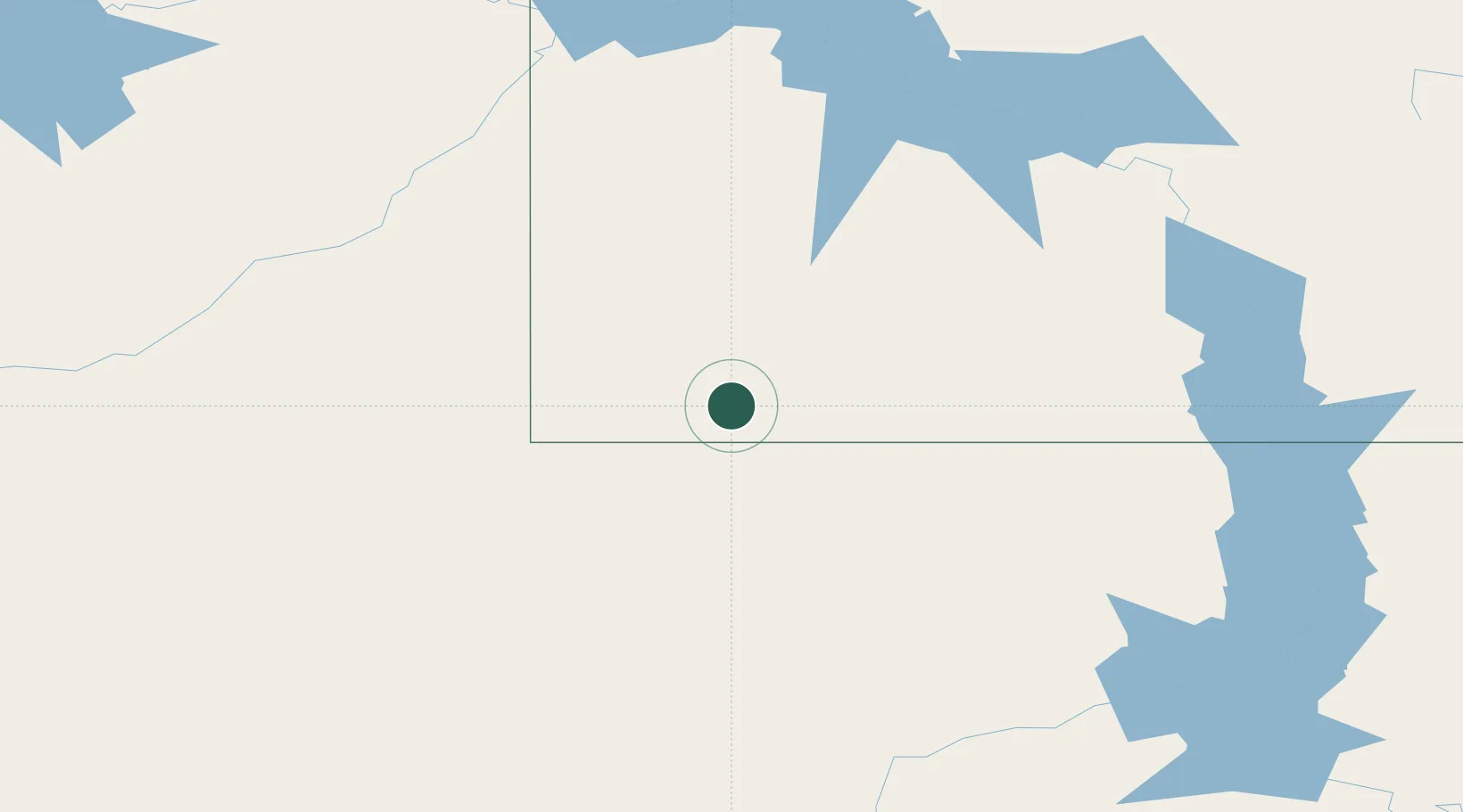
842 m
Location
Nearby Logistics Neighbours
Cities
- 1Reeder10 km
- 2Fryburg85 km
- 3Beach113 km
- 4Hebron118 km
- 5Glen Ullin123 km
Ports
- 1Duluth844 km
- 2Superior847 km
- 3Two Harbors879 km
- 4Washburn937 km
- 5Ashland938 km
Airports
Trade Zones
- 1FTZ No. 267 Fargo475 km
- 2FTZ No. 103 Grand Forks491 km
- 3Global Transportation Hub Authority497 km
- 4FTZ No. 220 Sioux Falls572 km
- 5Winnipegs Centreport Canada610 km
DatabookThe Record of Consolidated Knowledge
United States beyond logistics?