Medium airport · United States

Sidney - Richland Regional AirportKSDY

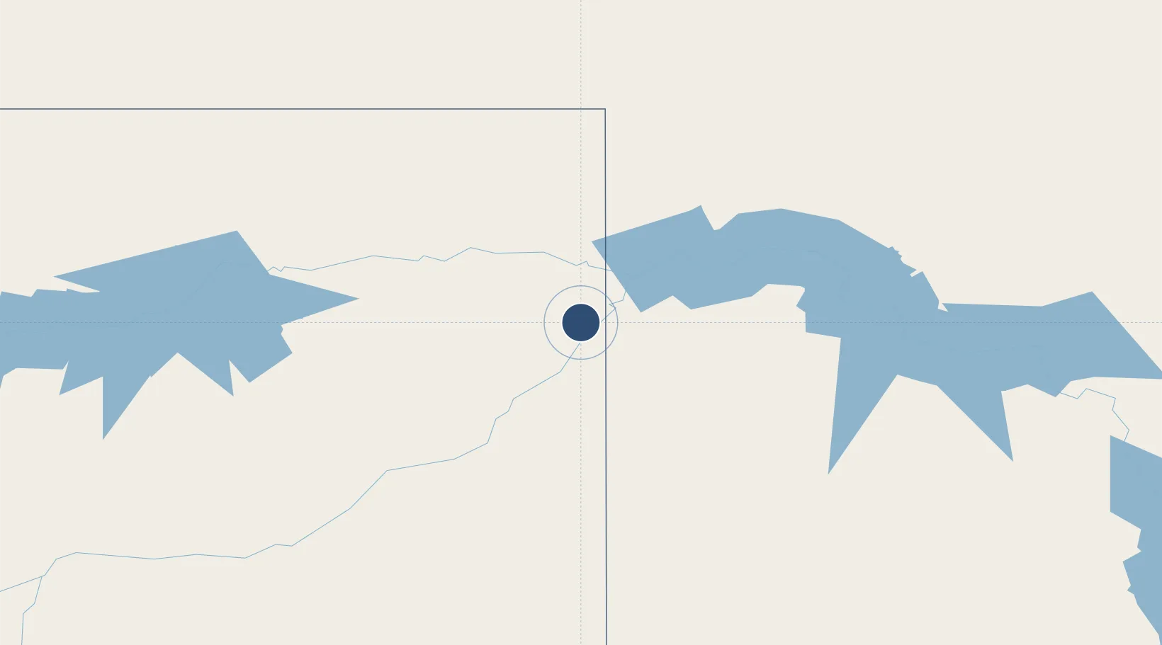
47.7051°, -104.1944°
5,705 ft
Longest runway
2
Runways
1,985 ft
Elevation

Runway & Layout

Sidney - Richland Regional Airport runway & taxiway layout
Runway & taxiway layout — OpenStreetMap (ODbL) / OurAirports

Radio Frequencies

AWOS
119.275 MHz
AWOS 3
RDO
123.65 MHz
GREAT FALLS RDO
UNIC
122.8 MHz
CTAF/UNICOM
OurAirports

Runways · 2

RunwayDimensions SurfaceTrue headingLit
01/19 5,705 × 100ft Asphalt 024°
11/29 4,024 × 100ft Asphalt 117°
OurAirports

Airport Specifications

IATA code
SDY
OurAirports
ICAO code
KSDY
OurAirports
Airport class
Medium airport
OurAirports
Scheduled service
Yes
OurAirports
Runway surface
Asphalt
OurAirports
Served city
Sidney
OurAirports

Location

Location of KSDY
Natural Earth 10m (public domain) · Montana · KSDY · 47.71, -104.19GoogleOSMYandex

Nearby Logistics Neighbours

Airports
  1. 1Williston Basin International Airport70 km
  2. 2Dawson Community Airport78 km
  3. 3L M Clayton Airport112 km
  4. 4Dickinson Theodore Roosevelt Regional Airport146 km
  5. 5Glasgow Valley County Airport Wokal Field189 km
Nearest neighbours — logibook spatial index (haversine) over the source coordinates
Cities
  1. 1Savage31 km
  2. 2Alexander44 km
  3. 3Beach89 km
  4. 4Fryburg115 km
  5. 5Raymond132 km
Nearest neighbours — logibook spatial index (haversine) over the source coordinates
Ports
  1. 1Duluth918 km
  2. 2Superior921 km
  3. 3Two Harbors947 km
  4. 4Washburn1011 km
  5. 5Bayfield1013 km
Nearest neighbours — logibook spatial index (haversine) over the source coordinates
Trade Zones
  1. 1Global Transportation Hub Authority308 km
  2. 2FTZ No. 103 Grand Forks525 km
  3. 3FTZ No. 088 Great Falls544 km
  4. 4FTZ No. 267 Fargo553 km
  5. 5Winnipegs Centreport Canada571 km
Nearest neighbours — logibook spatial index (haversine) over the source coordinates
DatabookThe Record of Consolidated Knowledge
United States beyond logistics?
Browse databook

All Sources

AirportsOurAirports
Public domain
Portsthe NGA World Port Index
Public domain (US gov)
LocationsUN/LOCODE
UN/LOCODE — free
Trade Zonesthe World Bank SEZ database
CC BY 4.0
Trade ZonesOpen Zone Map
CC BY
InfrastructureOpenStreetMap
ODbL 1.0
← United States airports