Transport Functions
Rail
Road
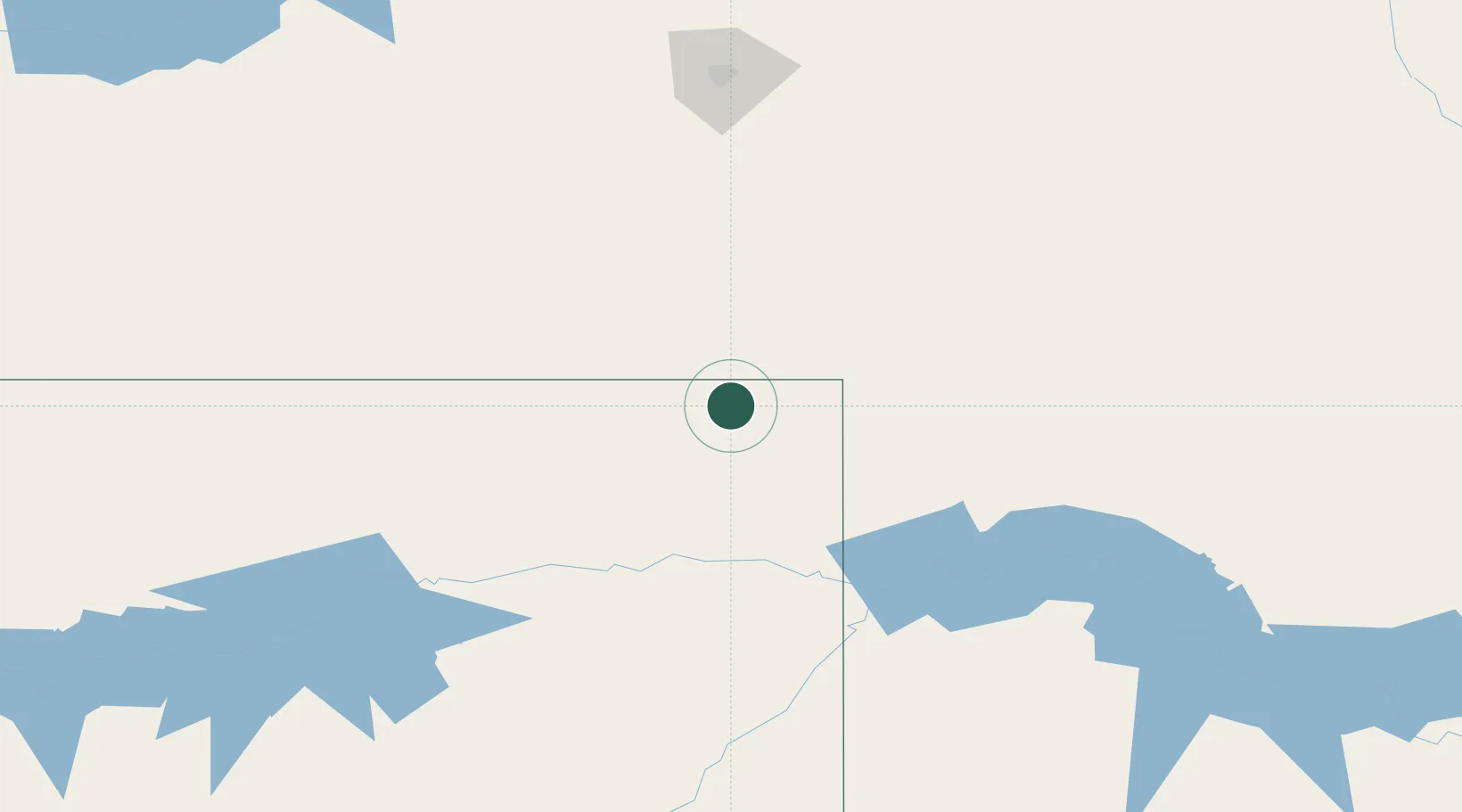
Hub Profile
Place type
Populated place
Region
Montana
Time zone
America/Denver
Elevation
698 m
Location
Nearby Logistics Neighbours
Cities
- 1Radville70 km
- 2Pangman87 km
- 3Macoun108 km
- 4Assiniboia131 km
- 5Avonlea133 km
Ports
- 1Duluth960 km
- 2Superior963 km
- 3Two Harbors984 km
- 4Washburn1051 km
- 5Bayfield1051 km
Airports
Trade Zones
- 1Global Transportation Hub Authority176 km
- 2FTZ No. 088 Great Falls530 km
- 3Winnipegs Centreport Canada551 km
- 4FTZ No. 103 Grand Forks557 km
- 5FTZ No. 187 Toole County566 km
DatabookThe Record of Consolidated Knowledge
United States beyond logistics?