Medium airport · United States

Dawson Community AirportKGDV

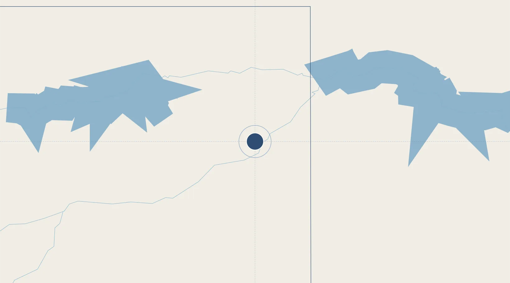
47.1377°, -104.8069°
5,704 ft
Longest runway
2
Runways
2,458 ft
Elevation

Runway & Layout

Dawson Community Airport runway & taxiway layout
Runway & taxiway layout — OpenStreetMap (ODbL) / OurAirports

Radio Frequencies

AWOS
135.075 MHz
AWOS 3
RDO
122.55 MHz
GREAT FALLS RDO
UNIC
122.8 MHz
CTAF/UNICOM
OurAirports

Runways · 2

RunwayDimensions SurfaceTrue headingLit
12/30 5,704 × 100ft Asphalt 136°
02/20 3,002 × 60ft Asphalt 036°
OurAirports

Airport Specifications

IATA code
GDV
OurAirports
ICAO code
KGDV
OurAirports
Airport class
Medium airport
OurAirports
Scheduled service
Yes
OurAirports
Runway surface
Asphalt
OurAirports
Served city
Glendive
OurAirports

Location

Location of KGDV
Natural Earth 10m (public domain) · Montana · KGDV · 47.14, -104.81GoogleOSMYandex

Nearby Logistics Neighbours

Airports
  1. 1Sidney - Richland Regional Airport78 km
  2. 2Miles City Airport - Frank Wiley Field114 km
  3. 3L M Clayton Airport121 km
  4. 4Williston Basin International Airport148 km
  5. 5Dickinson Theodore Roosevelt Regional Airport157 km
Nearest neighbours — logibook spatial index (haversine) over the source coordinates
Cities
  1. 1Savage49 km
  2. 2Beach66 km
  3. 3Alexander117 km
  4. 4Fryburg118 km
  5. 5Gascoyne174 km
Nearest neighbours — logibook spatial index (haversine) over the source coordinates
Ports
  1. 1Duluth964 km
  2. 2Superior967 km
  3. 3Two Harbors995 km
  4. 4Washburn1058 km
  5. 5Ashland1060 km
Nearest neighbours — logibook spatial index (haversine) over the source coordinates
Trade Zones
  1. 1Global Transportation Hub Authority368 km
  2. 2FTZ No. 088 Great Falls502 km
  3. 3FTZ No. 103 Grand Forks579 km
  4. 4FTZ No. 187 Toole County582 km
  5. 5FTZ No. 267 Fargo595 km
Nearest neighbours — logibook spatial index (haversine) over the source coordinates
DatabookThe Record of Consolidated Knowledge
United States beyond logistics?
Browse databook

All Sources

AirportsOurAirports
Public domain
Portsthe NGA World Port Index
Public domain (US gov)
LocationsUN/LOCODE
UN/LOCODE — free
Trade Zonesthe World Bank SEZ database
CC BY 4.0
Trade ZonesOpen Zone Map
CC BY
InfrastructureOpenStreetMap
ODbL 1.0
← United States airports