Transport Functions
Port
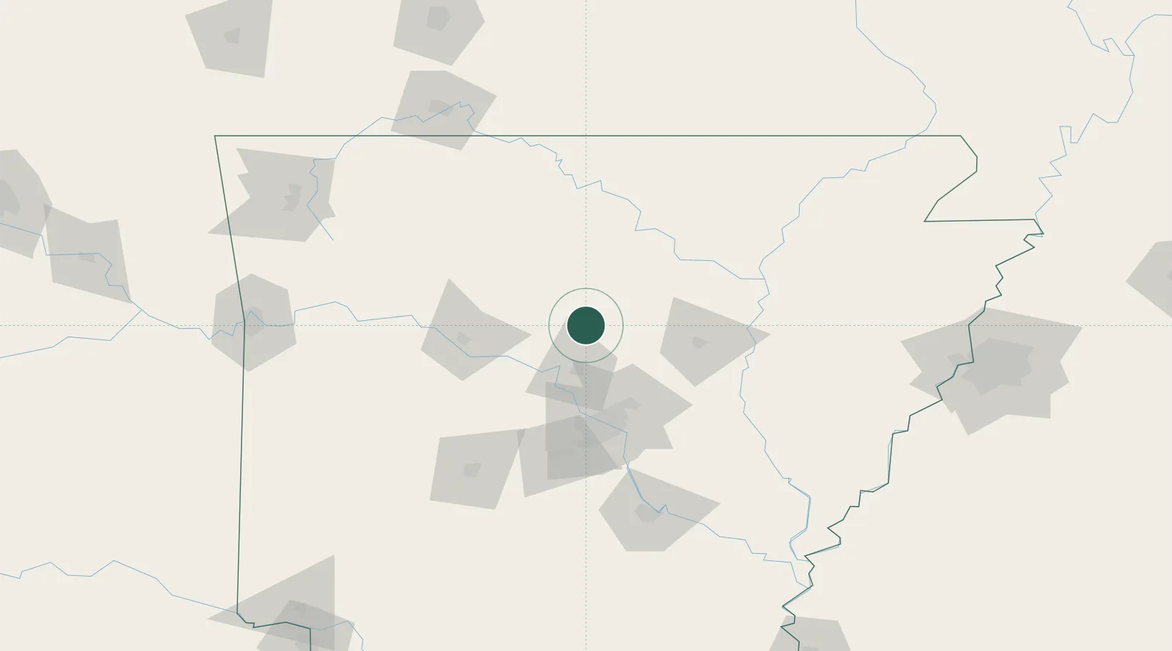
Hub Profile
Place type
Populated place
Region
Arkansas
Population
383
Time zone
America/Chicago
Elevation
212 m
Location
Nearby Logistics Neighbours
Cities
- 1Guy8 km
- 2Plumerville32 km
- 3Bigelow45 km
- 4Cabot56 km
- 5Phoenix Township56 km
Ports
- 1Port Of Memphis206 km
- 2Baton Rouge558 km
- 3Lake Charles578 km
- 4Madisonville591 km
- 5Orange601 km
Airports
Trade Zones
- 1FTZ No. 014 Little Rock75 km
- 2FTZ No. 287 Tunica County176 km
- 3FTZ No. 077 Memphis197 km
- 4FTZ No. 273 West Memphis202 km
- 5FTZ No. 223 Memphis210 km
DatabookThe Record of Consolidated Knowledge
United States beyond logistics?