UN/LOCODE hub · United States
USEN4
Edgerton
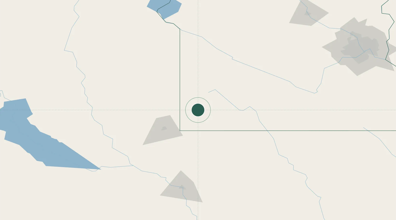
43.8667°, -96.1333°
1,139
Population
3
Transport functions
Transport Functions
Rail
Road
Multimodal
Hub Profile
Place type
Populated place
Region
Minnesota
Population
1,139
Time zone
America/Chicago
Elevation
481 m
Location
Nearby Logistics Neighbours
Ports
- 1Superior450 km
- 2Duluth451 km
- 3Two Harbors495 km
- 4Ashland512 km
- 5Washburn515 km
Airports
Trade Zones
- 1FTZ No. 220 Sioux Falls64 km
- 2FTZ No. 288 Northwest Iowa79 km
- 3FTZ No. 119 Minneapolis-St. Paul261 km
- 4FTZ No. 107 Polk County314 km
- 5FTZ No. 267 Fargo339 km
DatabookThe Record of Consolidated Knowledge
United States beyond logistics?