Transport Functions
Rail
Road
Multimodal
Hub Profile
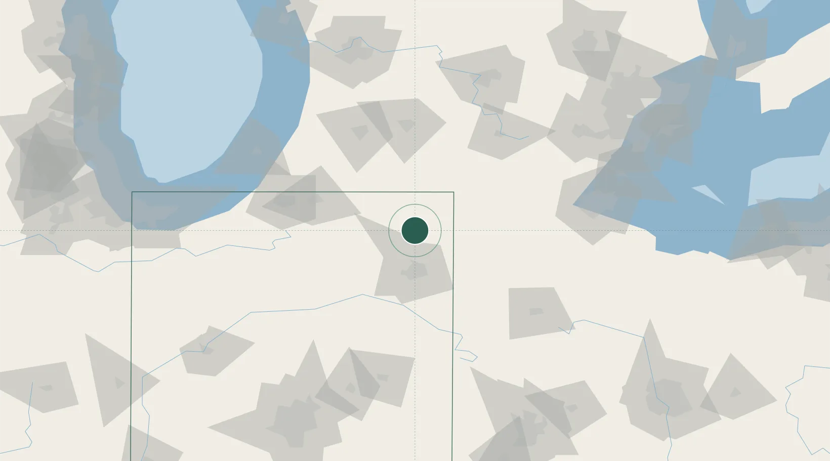
Place type
Populated place
Region
Indiana
Population
255
Time zone
America/Indiana/Indianapolis
Elevation
297 m
Location
Nearby Logistics Neighbours
Cities
- 1Hudson11 km
- 2Garrett11 km
- 3Ashley12 km
- 4South Milford16 km
- 5Pleasant Lake19 km
Ports
- 1St Joseph135 km
- 2Toledo142 km
- 3South Haven144 km
- 4Michigan City151 km
- 5Monroe158 km
Airports
Trade Zones
- 1FTZ No. 182 Fort Wayne41 km
- 2FTZ No. 043 Battle Creek102 km
- 3FTZ No. 125 South Bend104 km
- 4FTZ No. 151 Findlay127 km
- 5FTZ No. 008 Toledo136 km
DatabookThe Record of Consolidated Knowledge
United States beyond logistics?