Transport Functions
Port
Rail
Road
Multimodal
Hub Profile
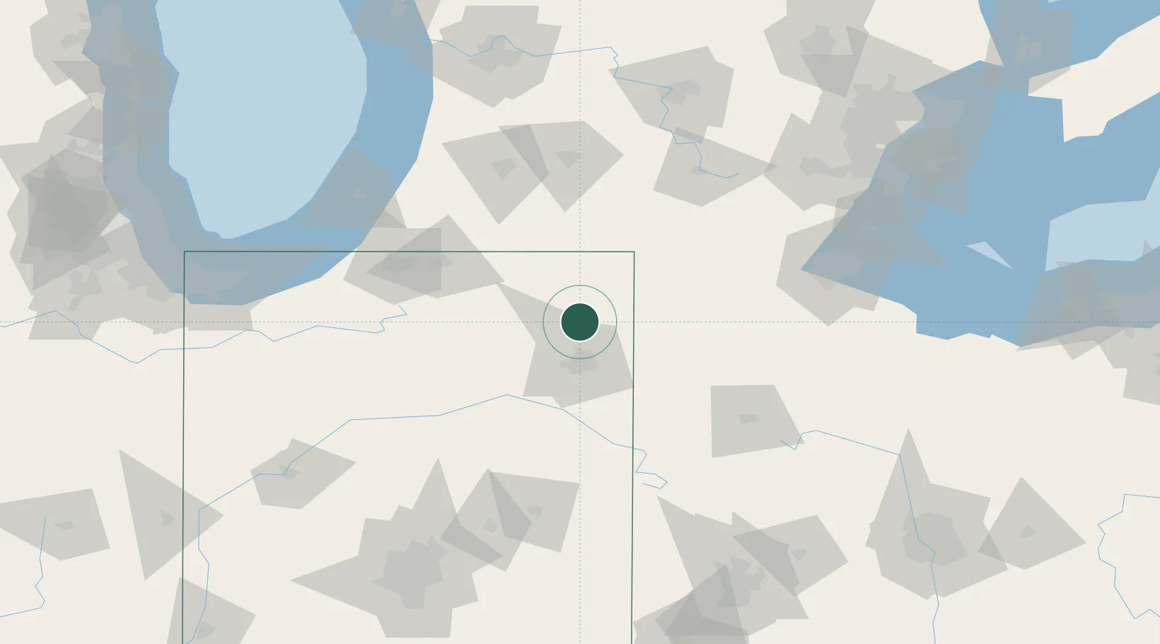
Place type
Populated place
Region
Indiana
Population
6,344
Time zone
America/Indiana/Indianapolis
Elevation
268 m
Location
Nearby Logistics Neighbours
Cities
- 1Corunna11 km
- 2Churubusco20 km
- 3Grabill20 km
- 4Hudson21 km
- 5Ashley23 km
Ports
- 1St Joseph142 km
- 2Toledo145 km
- 3South Haven152 km
- 4Michigan City154 km
- 5Monroe162 km
Airports
Trade Zones
- 1FTZ No. 182 Fort Wayne31 km
- 2FTZ No. 125 South Bend108 km
- 3FTZ No. 043 Battle Creek113 km
- 4FTZ No. 151 Findlay124 km
- 5FTZ No. 008 Toledo138 km
DatabookThe Record of Consolidated Knowledge
United States beyond logistics?