UN/LOCODE hub · United States
USUDE

Burnside

30.1333°, -90.9167°
2
Transport functions

Transport Functions

Road
Multimodal
UN/LOCODE

Hub Profile

Place type
Populated place
GeoNames
Region
Louisiana
GeoNames
Time zone
America/Chicago
GeoNames
Elevation
6 m
GeoNames

Location

Location of USUDE
Natural Earth 10m (public domain) · Louisiana · USUDE · 30.13, -90.92GoogleOSMYandex

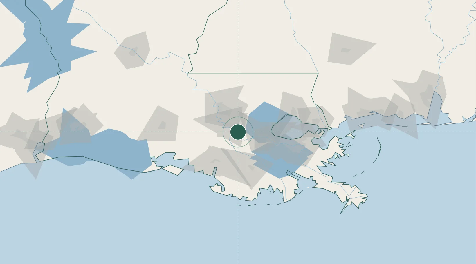
Nearby Logistics Neighbours

Cities
  1. 1Saint Amant10 km
  2. 2Welcome10 km
  3. 3Romeville12 km
  4. 4Saint James21 km
  5. 5Paincourtville21 km
Nearest neighbours — logibook spatial index (haversine) over the source coordinates
Ports
  1. 1Convent15 km
  2. 2St. James19 km
  3. 3Reserve37 km
  4. 4Baton Rouge44 km
  5. 5Morgan City56 km
Nearest neighbours — logibook spatial index (haversine) over the source coordinates
Airports
  1. 1Baton Rouge Metropolitan Airport50 km
  2. 2Louis Armstrong New Orleans International Airport65 km
  3. 3Lakefront Airport86 km
  4. 4New Orleans NAS JRB/Alvin Callender Field92 km
  5. 5Acadiana Regional Airport94 km
Nearest neighbours — logibook spatial index (haversine) over the source coordinates
Trade Zones
  1. 1FTZ No. 124 Gramercy21 km
  2. 2FTZ No. 154 Baton Rouge47 km
  3. 3FTZ No. 155 Calhoun Victoria Counties47 km
  4. 4FTZ No. 002 New Orleans85 km
  5. 5FTZ No. 279 Terrebonne Parish87 km
Nearest neighbours — logibook spatial index (haversine) over the source coordinates
DatabookThe Record of Consolidated Knowledge
United States beyond logistics?
Browse databook

All Sources

LocationsUN/LOCODE
UN/LOCODE — free
Portsthe NGA World Port Index
Public domain (US gov)
AirportsOurAirports
Public domain
Trade Zonesthe World Bank SEZ database
CC BY 4.0
Trade ZonesOpen Zone Map
CC BY
← United States locations