UN/LOCODE hub · United States
USXXQ
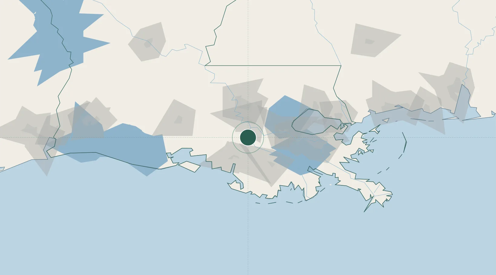
Paincourtville
29.9833°, -91.0500°
911
Population
1
Transport functions
Transport Functions
Multimodal
Hub Profile
Place type
Populated place
Region
Louisiana
Population
911
Time zone
America/Chicago
Elevation
5 m
Location
Nearby Logistics Neighbours
Cities
- 1Welcome19 km
- 2Burnside21 km
- 3Romeville22 km
- 4Saint James23 km
- 5Saint Amant31 km
Ports
- 1Convent21 km
- 2St. James21 km
- 3Morgan City35 km
- 4Reserve49 km
- 5Baton Rouge53 km
Airports
Trade Zones
DatabookThe Record of Consolidated Knowledge
United States beyond logistics?