Transport Functions
Rail
Road
Hub Profile
Place type
Provincial seat
Region
Nebraska
Population
3,006
Time zone
America/Chicago
Elevation
662 m
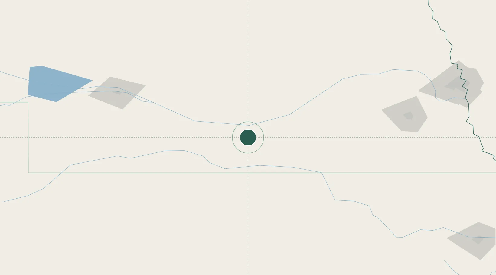
Location
Nearby Logistics Neighbours
Cities
- 1Odessa34 km
- 2Elwood77 km
- 3Loup City87 km
- 4Phillipsburg89 km
- 5Superior92 km
Ports
- 1Superior887 km
- 2Duluth888 km
- 3Two Harbors931 km
- 4Ashland940 km
- 5Washburn944 km
Airports
Trade Zones
- 1FTZ No. 059 Lincoln182 km
- 2FTZ No. 133 Quad-Cities, Iowa Illinois226 km
- 3FTZ No. 161 Sedgwick County329 km
- 4FTZ No. 288 Northwest Iowa380 km
- 5FTZ No. 220 Sioux Falls383 km
DatabookThe Record of Consolidated Knowledge
United States beyond logistics?