Transport Functions
Rail
Road
Hub Profile
Place type
Provincial seat
Region
Kansas
Population
1,369
Time zone
America/Chicago
Elevation
473 m
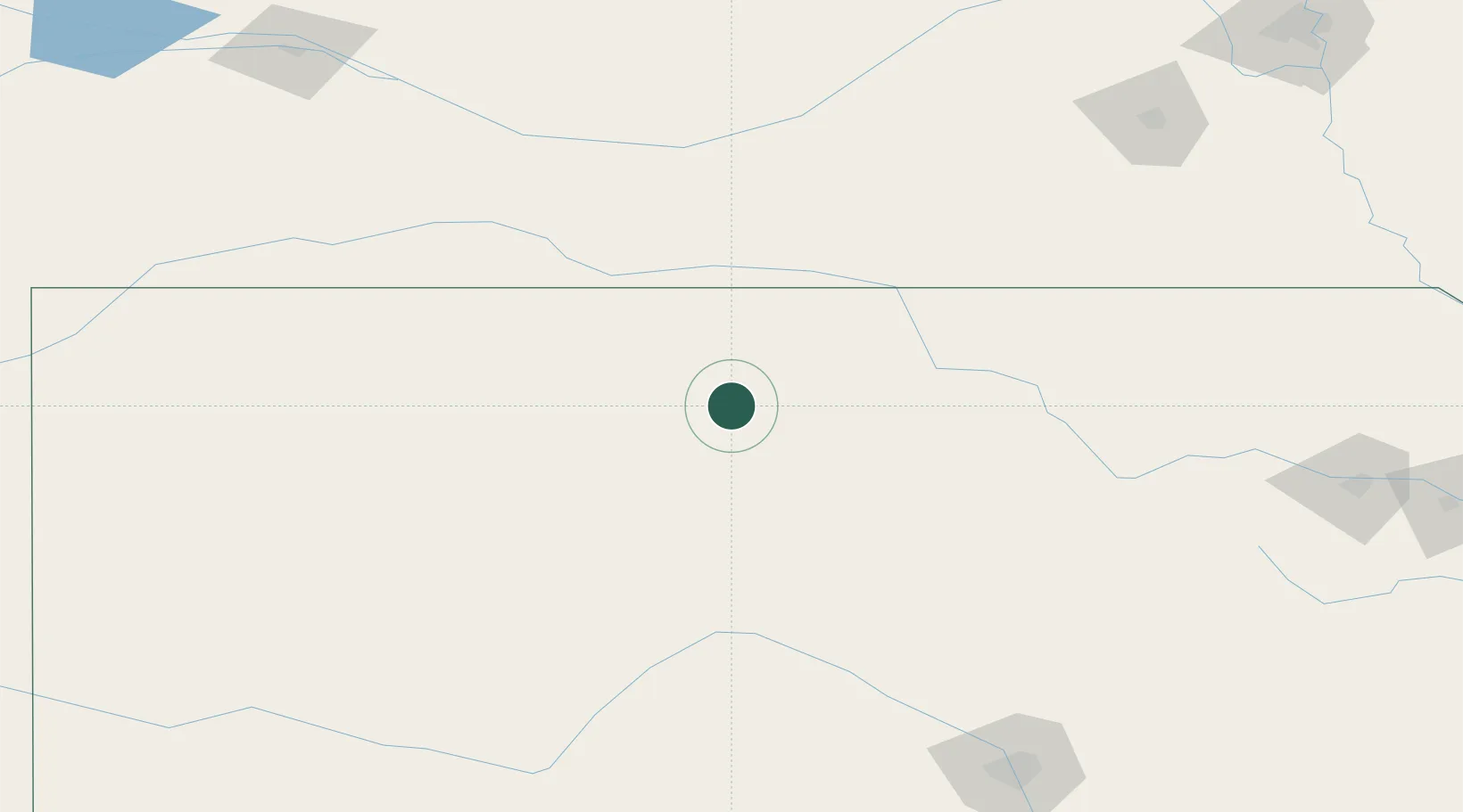
Location
Nearby Logistics Neighbours
Cities
- 1Paradise42 km
- 2Lucas45 km
- 3Phillipsburg64 km
- 4Superior85 km
- 5Ellsworth90 km
Ports
- 1Port Of Memphis897 km
- 2Superior973 km
- 3Duluth975 km
- 4Two Harbors1018 km
- 5Ashland1019 km
Airports
- 1Russell Municipal Airport63 km
- 2Hays Regional Airport82 km
- 3Salina Municipal Airport115 km
- 4Kearney Regional Airport146 km
- 5Hutchinson Municipal Airport169 km
Trade Zones
- 1FTZ No. 161 Sedgwick County210 km
- 2FTZ No. 133 Quad-Cities, Iowa Illinois218 km
- 3FTZ No. 059 Lincoln220 km
- 4FTZ No. 017 Kansas City333 km
- 5FTZ No. 015 Kansas City335 km
DatabookThe Record of Consolidated Knowledge
United States beyond logistics?