UN/LOCODE hub · United States
USUOV
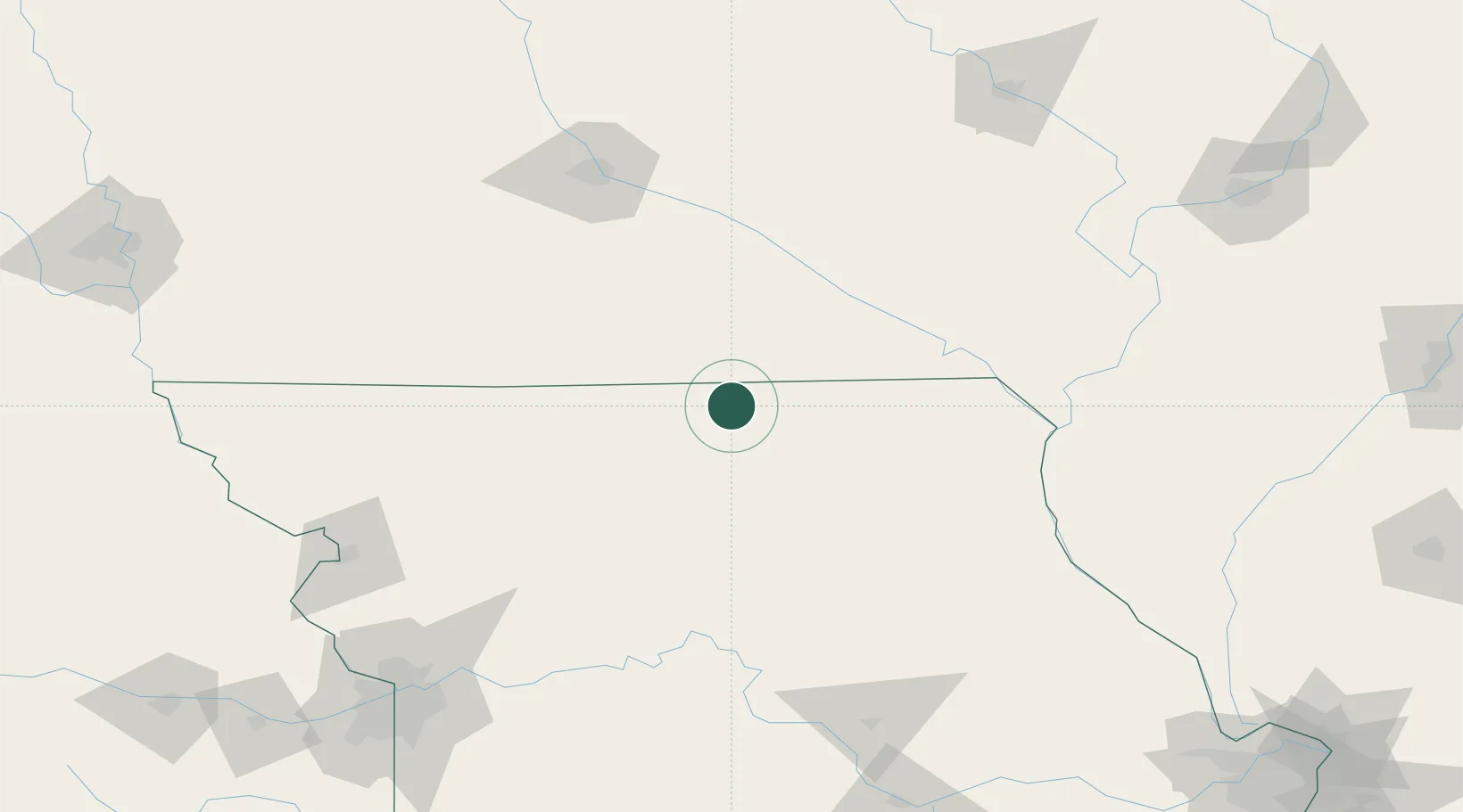
Unionville
40.4833°, -93.0000°
1,815
Population
2
Transport functions
Transport Functions
Rail
Road
Hub Profile
Place type
Provincial seat
Region
Missouri
Population
1,815
Time zone
America/Chicago
Elevation
324 m
Location
Nearby Logistics Neighbours
Cities
- 1Green Castle28 km
- 2Newtown31 km
- 3Milan33 km
- 4Harris36 km
- 5Corydon, Wayne41 km
Ports
- 1Great Lakes476 km
- 2Chicago478 km
- 3Wilmette478 km
- 4Calumet Harbor480 km
- 5Waukegan480 km
Airports
Trade Zones
- 1FTZ No. 107 Polk County145 km
- 2FTZ No. 055 Burlington164 km
- 3FTZ No. 175 Cedar Rapids193 km
- 4FTZ No. 017 Kansas City222 km
- 5FTZ No. 015 Kansas City245 km
DatabookThe Record of Consolidated Knowledge
United States beyond logistics?