Transport Functions
Rail
Road
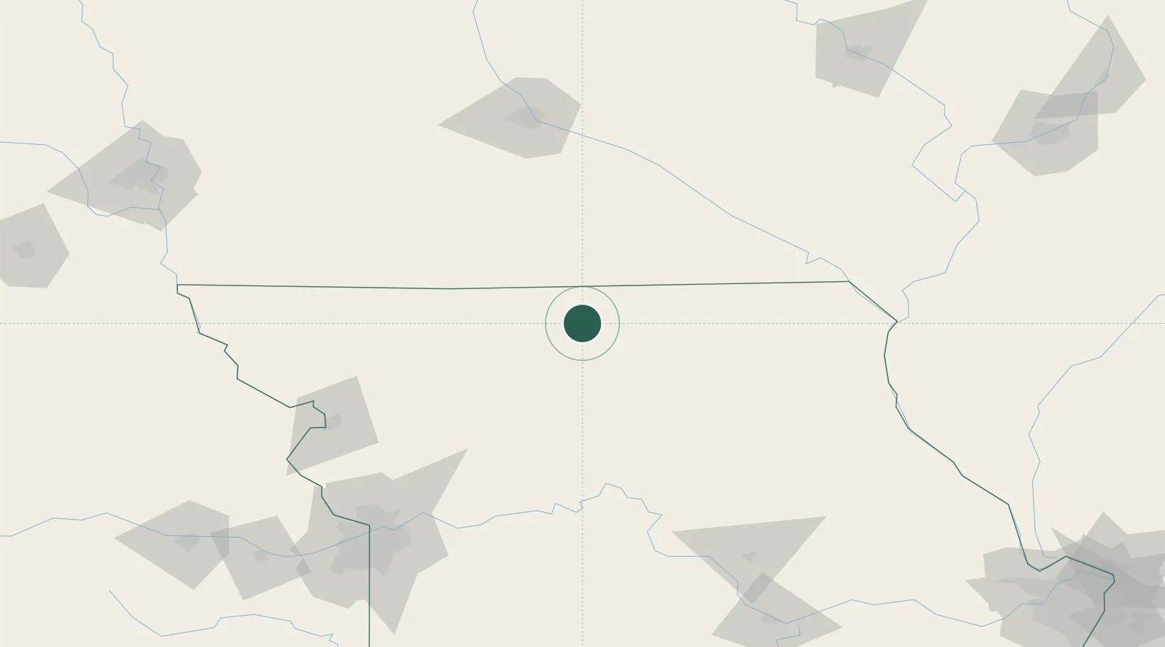
Hub Profile
Place type
Populated place
Region
Missouri
Population
175
Time zone
America/Chicago
Elevation
290 m
Location
Nearby Logistics Neighbours
Cities
- 1Harris8 km
- 2Milan26 km
- 3Unionville31 km
- 4Green Castle42 km
- 5Corydon, Wayne43 km
Ports
- 1Great Lakes507 km
- 2Chicago509 km
- 3Wilmette510 km
- 4Calumet Harbor511 km
- 5Waukegan511 km
Airports
Trade Zones
- 1FTZ No. 107 Polk County149 km
- 2FTZ No. 017 Kansas City193 km
- 3FTZ No. 055 Burlington195 km
- 4FTZ No. 015 Kansas City216 km
- 5FTZ No. 175 Cedar Rapids219 km
DatabookThe Record of Consolidated Knowledge
United States beyond logistics?