Transport Functions
Road
Multimodal
Hub Profile
Place type
Provincial seat
Region
Missouri
Population
1,852
Time zone
America/Chicago
Elevation
297 m
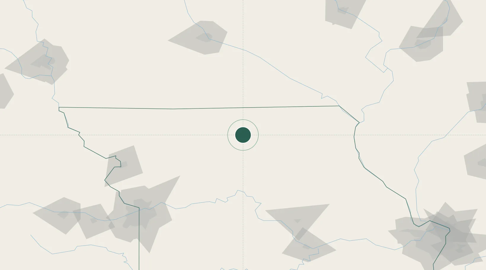
Location
Nearby Logistics Neighbours
Cities
- 1Green Castle22 km
- 2Harris23 km
- 3Newtown26 km
- 4Unionville33 km
- 5Brookfield47 km
Ports
- 1Chicago499 km
- 2Great Lakes500 km
- 3Calumet Harbor500 km
- 4Wilmette501 km
- 5Waukegan504 km
Airports
Trade Zones
- 1FTZ No. 107 Polk County171 km
- 2FTZ No. 055 Burlington183 km
- 3FTZ No. 017 Kansas City193 km
- 4FTZ No. 015 Kansas City215 km
- 5FTZ No. 175 Cedar Rapids225 km
DatabookThe Record of Consolidated Knowledge
United States beyond logistics?