Transport Functions
Rail
Road
Hub Profile
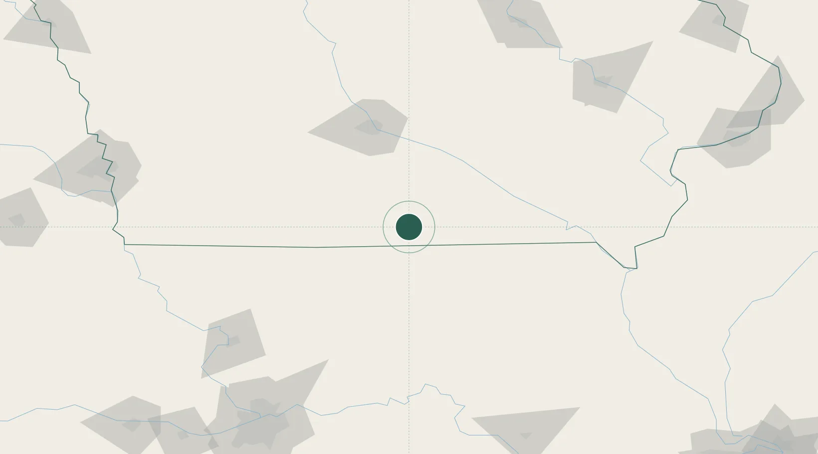
Region
IA
Location
Nearby Logistics Neighbours
Cities
- 1Unionville41 km
- 2Newtown43 km
- 3Osceola47 km
- 4Moravia47 km
- 5Harris50 km
Ports
- 1Great Lakes489 km
- 2Waukegan493 km
- 3Wilmette494 km
- 4Chicago495 km
- 5Calumet Harbor498 km
Airports
Trade Zones
- 1FTZ No. 107 Polk County107 km
- 2FTZ No. 175 Cedar Rapids186 km
- 3FTZ No. 055 Burlington188 km
- 4FTZ No. 017 Kansas City226 km
- 5FTZ No. 015 Kansas City251 km
DatabookThe Record of Consolidated Knowledge
United States beyond logistics?