Transport Functions
Road
Multimodal
Hub Profile
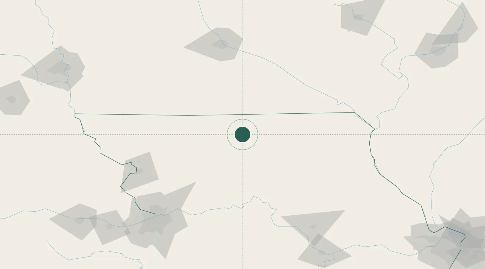
Place type
Populated place
Region
Missouri
Population
58
Time zone
America/Chicago
Elevation
272 m
Location
Nearby Logistics Neighbours
Cities
- 1Newtown8 km
- 2Milan23 km
- 3Unionville36 km
- 4Green Castle41 km
- 5Corydon, Wayne50 km
Ports
- 1Great Lakes512 km
- 2Chicago513 km
- 3Wilmette514 km
- 4Calumet Harbor515 km
- 5Waukegan516 km
Airports
Trade Zones
- 1FTZ No. 107 Polk County156 km
- 2FTZ No. 017 Kansas City186 km
- 3FTZ No. 055 Burlington198 km
- 4FTZ No. 015 Kansas City210 km
- 5FTZ No. 175 Cedar Rapids226 km
DatabookThe Record of Consolidated Knowledge
United States beyond logistics?