Transport Functions
Port
Rail
Road
Multimodal
Hub Profile
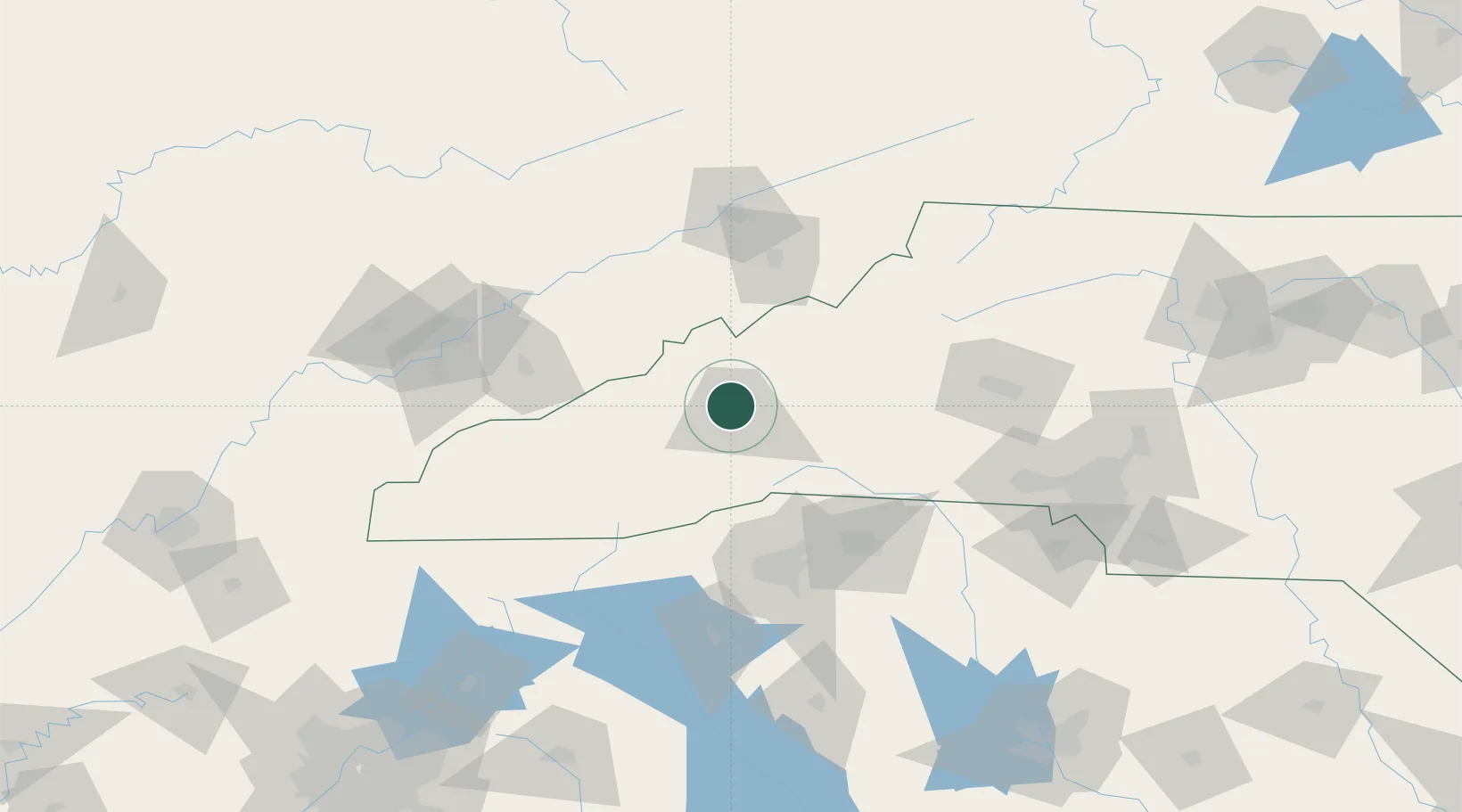
Place type
Populated place
Region
North Carolina
Population
6,349
Time zone
America/New_York
Elevation
645 m
Location
Nearby Logistics Neighbours
Cities
- 1Asheville5 km
- 2Leicester9 km
- 3Candler15 km
- 4Marshall19 km
- 5Barnardsville19 km
Ports
- 1Georgetown394 km
- 2Beaufort397 km
- 3Charleston401 km
- 4Port Royal403 km
- 5Savannah418 km
Airports
Trade Zones
- 1FTZ No. 038 Spartanburg County88 km
- 2FTZ No. 204 Tri-Cities96 km
- 3FTZ No. 057 Mecklenburg County142 km
- 4FTZ No. 148 Knoxville153 km
- 5FTZ No. 127 West Columbia226 km
DatabookThe Record of Consolidated Knowledge
United States beyond logistics?