UN/LOCODE hub · United States
USAEV
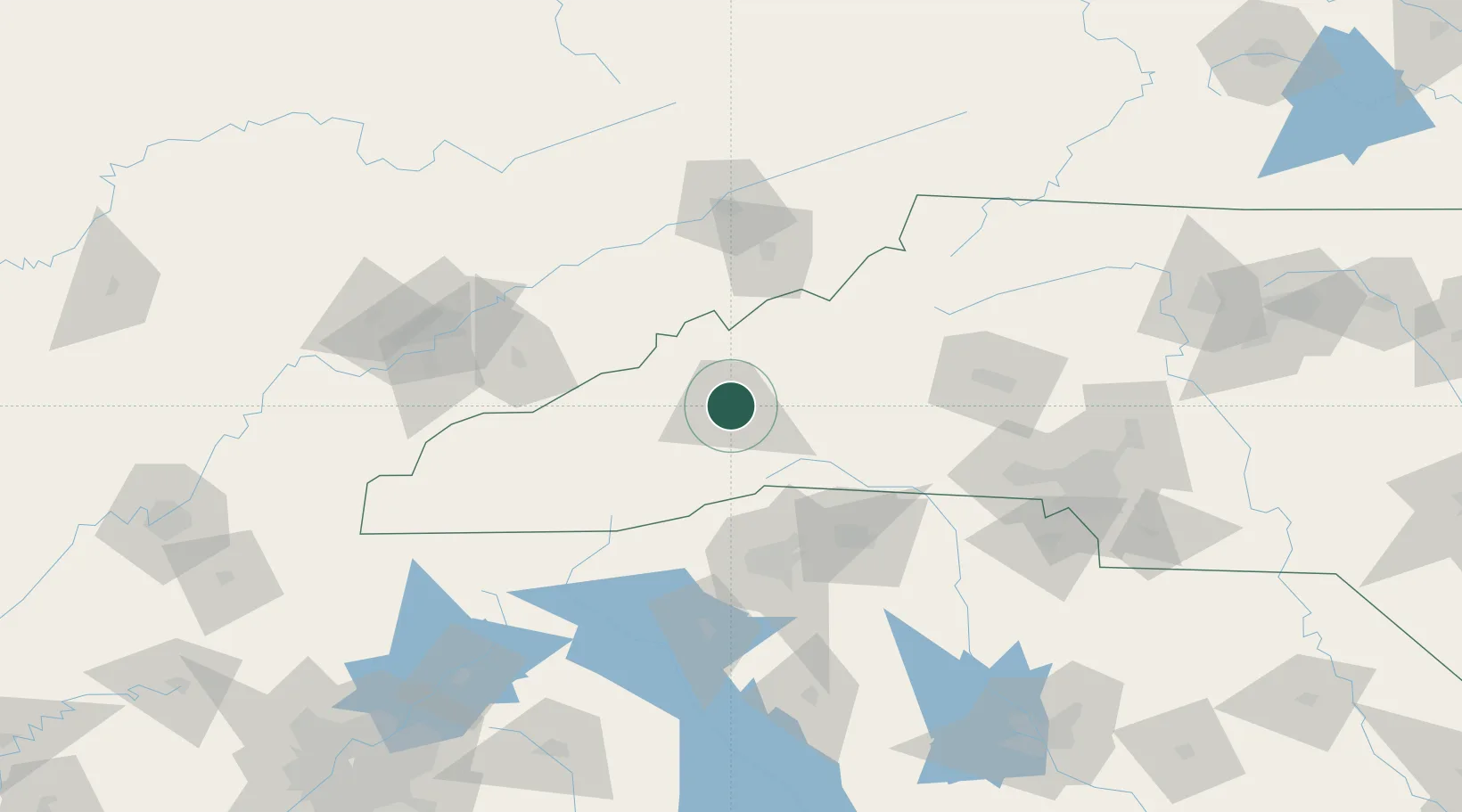
Asheville
35.6000°, -82.5500°
95,056
Population
4
Transport functions
Transport Functions
Rail
Road
Airport
Multimodal
Hub Profile
Place type
Provincial seat
Region
North Carolina
Population
95,056
Time zone
America/New_York
Elevation
649 m
Location
Nearby Logistics Neighbours
Cities
- 1Woodfin5 km
- 2Leicester13 km
- 3Candler16 km
- 4Barnardsville21 km
- 5Marshall24 km
Ports
- 1Georgetown389 km
- 2Beaufort393 km
- 3Charleston396 km
- 4Port Royal399 km
- 5Savannah414 km
Airports
Trade Zones
- 1FTZ No. 038 Spartanburg County84 km
- 2FTZ No. 204 Tri-Cities99 km
- 3FTZ No. 057 Mecklenburg County138 km
- 4FTZ No. 148 Knoxville157 km
- 5FTZ No. 127 West Columbia221 km
DatabookThe Record of Consolidated Knowledge
United States beyond logistics?