Transport Functions
Multimodal
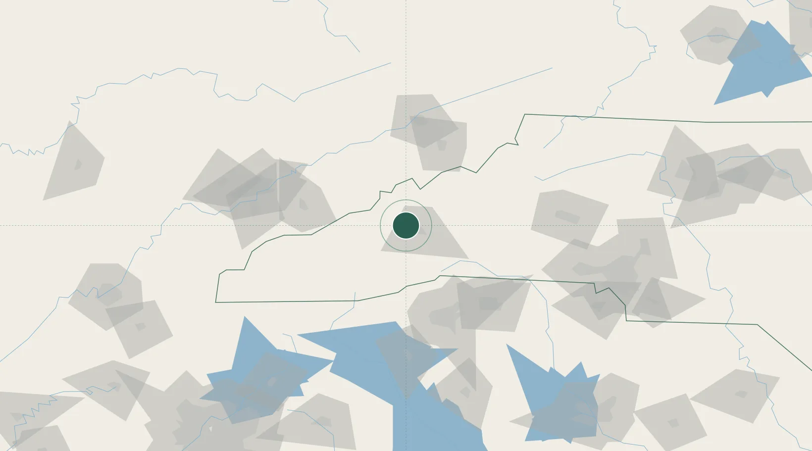
Hub Profile
Place type
Populated place
Region
North Carolina
Time zone
America/New_York
Elevation
636 m
Location
Nearby Logistics Neighbours
Cities
- 1Woodfin9 km
- 2Candler13 km
- 3Asheville13 km
- 4Marshall15 km
- 5Barnardsville25 km
Ports
- 1Georgetown402 km
- 2Beaufort403 km
- 3Charleston408 km
- 4Port Royal409 km
- 5Savannah423 km
Airports
Trade Zones
- 1FTZ No. 038 Spartanburg County94 km
- 2FTZ No. 204 Tri-Cities96 km
- 3FTZ No. 148 Knoxville144 km
- 4FTZ No. 057 Mecklenburg County151 km
- 5FTZ No. 127 West Columbia233 km
DatabookThe Record of Consolidated Knowledge
United States beyond logistics?