UN/LOCODE hub · United States
USNMA

Marshall

35.7833°, -82.6833°
876
Population
2
Transport functions

Transport Functions

Port
Road
UN/LOCODE

Hub Profile

Place type
Provincial seat
GeoNames
Region
North Carolina
GeoNames
Population
876
GeoNames
Time zone
America/New_York
GeoNames
Elevation
505 m
GeoNames

Location

Location of USNMA
Natural Earth 10m (public domain) · North Carolina · USNMA · 35.78, -82.68GoogleOSMYandex

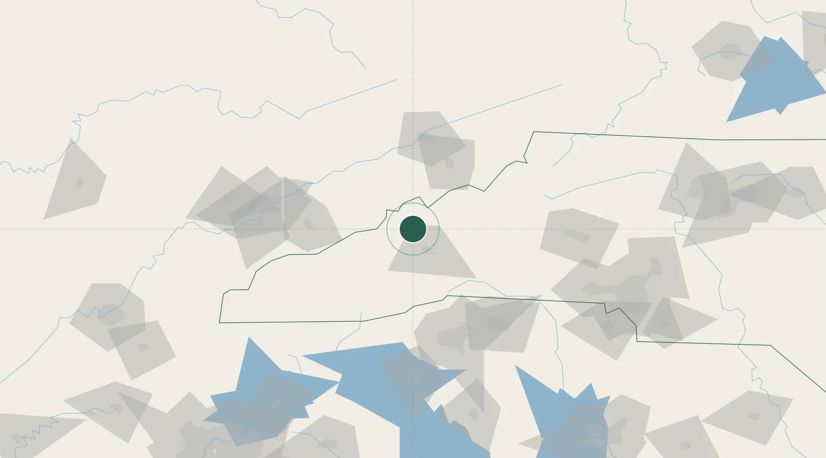
Nearby Logistics Neighbours

Cities
  1. 1Leicester15 km
  2. 2Woodfin19 km
  3. 3Barnardsville21 km
  4. 4Asheville24 km
  5. 5Candler28 km
Nearest neighbours — logibook spatial index (haversine) over the source coordinates
Ports
  1. 1Georgetown411 km
  2. 2Beaufort416 km
  3. 3Charleston419 km
  4. 4Port Royal422 km
  5. 5Savannah437 km
Nearest neighbours — logibook spatial index (haversine) over the source coordinates
Airports
  1. 1Asheville Regional Airport41 km
  2. 2Tri-Cities Regional TN/VA Airport81 km
  3. 3Greenville-Spartanburg International Airport107 km
  4. 4Greenville Downtown Airport108 km
  5. 5Hickory Regional Airport117 km
Nearest neighbours — logibook spatial index (haversine) over the source coordinates
Trade Zones
  1. 1FTZ No. 204 Tri-Cities81 km
  2. 2FTZ No. 038 Spartanburg County107 km
  3. 3FTZ No. 148 Knoxville141 km
  4. 4FTZ No. 057 Mecklenburg County156 km
  5. 5FTZ No. 238 Dublin230 km
Nearest neighbours — logibook spatial index (haversine) over the source coordinates
DatabookThe Record of Consolidated Knowledge
United States beyond logistics?
Browse databook

All Sources

LocationsUN/LOCODE
UN/LOCODE — free
LocationsGeoNames
CC BY 4.0
Portsthe NGA World Port Index
Public domain (US gov)
AirportsOurAirports
Public domain
Trade Zonesthe World Bank SEZ database
CC BY 4.0
Trade ZonesOpen Zone Map
CC BY
← United States locations